UN/LOCODE hub · Iceland
ISGRT

Grundartangi

64.3566°, -21.7826°
1
Transport functions
1
Container terminals

Transport Functions

Port
Grundartangi is also a profiled seaport →
UN/LOCODE

Hub Profile

Logistics facilities
2
UN/LOCODE
Container terminals
1
UN/LOCODE

Location

Location of ISGRT
Natural Earth 10m (public domain) · Höfuðborgarsvæði · ISGRT · 64.36, -21.78GoogleOSMYandex

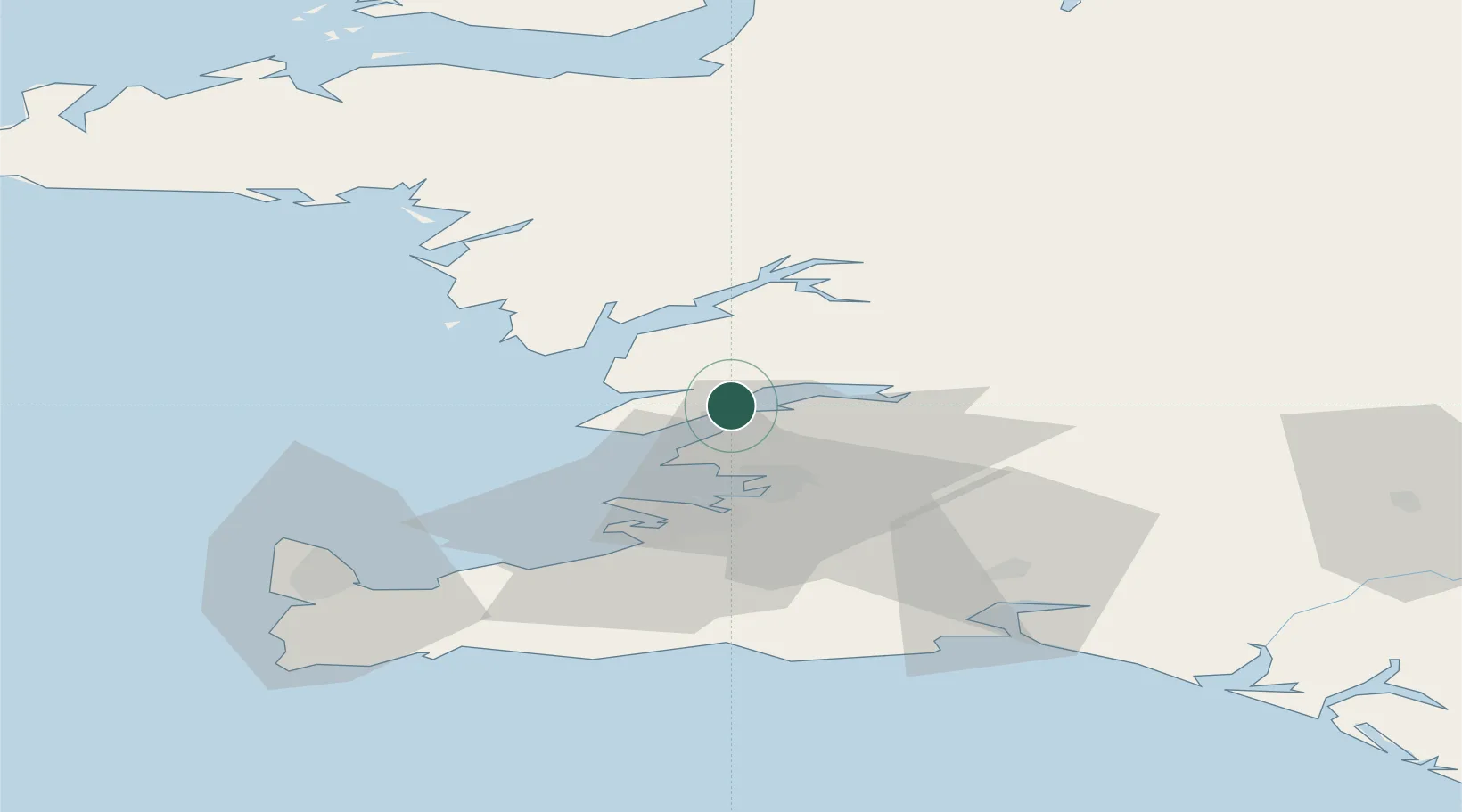
Nearby Logistics Neighbours

Cities
  1. 1Litli Sandur17 km
  2. 2Mosfellsbaer21 km
  3. 3Reykjavík24 km
  4. 4Kópavogur29 km
  5. 5Vogar51 km
Nearest neighbours — logibook spatial index (haversine) over the source coordinates
Ports
  1. 1Litlisandur16 km
  2. 2Borgarnes22 km
  3. 3Reykjavik24 km
  4. 4Skerjafjordur26 km
  5. 5Kopavogur28 km
Nearest neighbours — logibook spatial index (haversine) over the source coordinates
Airports
  1. 1Reykjavík Domestic Airport26 km
  2. 2Keflavik International Airport57 km
  3. 3Vestmannaeyjar Airport127 km
  4. 4Bildudalur Airport165 km
  5. 5Ísafjörður Airport199 km
Nearest neighbours — logibook spatial index (haversine) over the source coordinates
Trade Zones
  1. 1Prestwick Airport Free Zone1364 km
  2. 2Carlisle Kingmoor Park Enterprise Zone1478 km
  3. 3Shannon Free Zone1490 km
  4. 4Isle of Man Free Zone and Business Park1492 km
  5. 5Dublin International Financial Services Centre1507 km
Nearest neighbours — logibook spatial index (haversine) over the source coordinates
DatabookThe Record of Consolidated Knowledge
Iceland beyond logistics?
Browse databook

All Sources

LocationsUN/LOCODE
UN/LOCODE — free
Portsthe NGA World Port Index
Public domain (US gov)
AirportsOurAirports
Public domain
Trade Zonesthe World Bank SEZ database
CC BY 4.0
Trade ZonesOpen Zone Map
CC BY
← Iceland locations