Large airport · Iceland

Keflavik International AirportBIKF
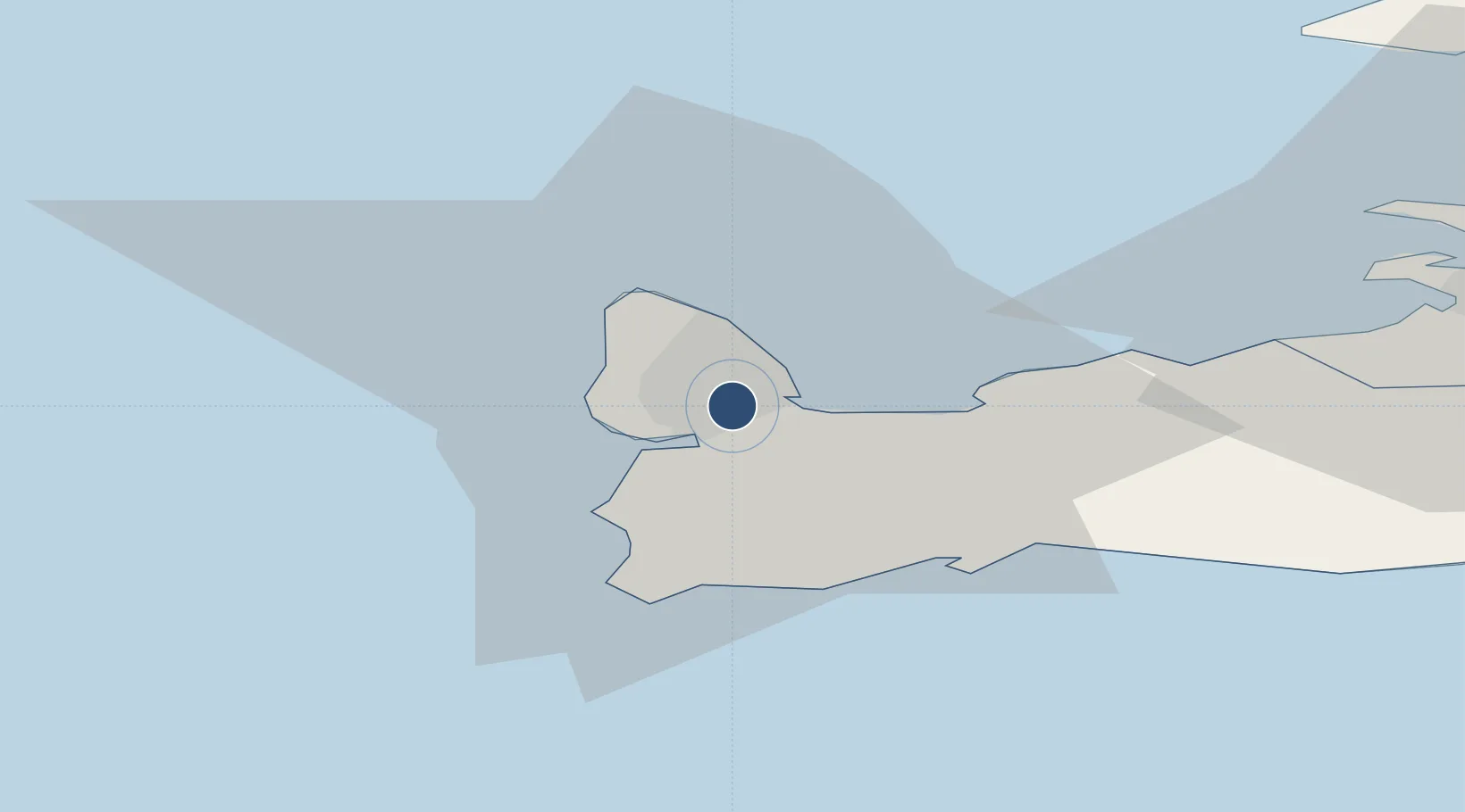
63.9850°, -22.6056°
10,056 ft
Longest runway
2
Runways
171 ft
Elevation

Runway & Layout

Keflavik International Airport runway & taxiway layout
Runway & taxiway layout — OpenStreetMap (ODbL) / OurAirports

Radio Frequencies

ATIS
128.3 MHz
TWR
118.3 MHz
GND
121.9 MHz
APP
119.3 MHz
DEP
119.3 MHz
A/G
131.9 MHz
AIR GND
OPS
129 MHz
BASE OPS
PMSV
125 MHz
PMSV METRO
OurAirports

Navaids

KEF VORTAC Keflavik 112.00 MHz
KF NDB Keflavik 392 kHz
OK NDB Oscar Kilo 364 kHz
OurAirports

Runways · 2

RunwayDimensions SurfaceTrue headingLit
10/28 10,056 × 197ft Asphalt 104°
01/19 10,020 × 197ft Asphalt 014°
OurAirports

Airport Specifications

IATA code
KEF
OurAirports
ICAO code
BIKF
OurAirports
Airport class
Large airport
OurAirports
Scheduled service
Yes
OurAirports
Runway surface
Asphalt
OurAirports
Served city
Reykjavík
OurAirports

Location

Location of BIKF
Natural Earth 10m (public domain) · Suðurnes · BIKF · 63.99, -22.61GoogleOSMYandex

Nearby Logistics Neighbours

Airports
  1. 1Reykjavík Domestic Airport36 km
  2. 2Vestmannaeyjar Airport131 km
  3. 3Bildudalur Airport190 km
  4. 4Ísafjörður Airport232 km
  5. 5Akureyri International Airport284 km
Nearest neighbours — logibook spatial index (haversine) over the source coordinates
Cities
  1. 1Helguvik6 km
  2. 2Hafnir9 km
  3. 3Vogar11 km
  4. 4Grindavík19 km
  5. 5Kópavogur36 km
Nearest neighbours — logibook spatial index (haversine) over the source coordinates
Ports
  1. 1Keflavik3 km
  2. 2Helguvik4 km
  3. 3Sandgerdi8 km
  4. 4Grindavik19 km
  5. 5Straumsvik28 km
Nearest neighbours — logibook spatial index (haversine) over the source coordinates
Trade Zones
  1. 1Prestwick Airport Free Zone1371 km
  2. 2Shannon Free Zone1481 km
  3. 3Carlisle Kingmoor Park Enterprise Zone1487 km
  4. 4Isle of Man Free Zone and Business Park1496 km
  5. 5Dublin International Financial Services Centre1505 km
Nearest neighbours — logibook spatial index (haversine) over the source coordinates
DatabookThe Record of Consolidated Knowledge
Iceland beyond logistics?
Browse databook

All Sources

AirportsOurAirports
Public domain
Portsthe NGA World Port Index
Public domain (US gov)
LocationsUN/LOCODE
UN/LOCODE — free
Trade Zonesthe World Bank SEZ database
CC BY 4.0
Trade ZonesOpen Zone Map
CC BY
InfrastructureOpenStreetMap
ODbL 1.0
← Iceland airports