Seaport · Iceland

StykkisholmurISSTY

65.0833°, -22.7333°

Channel & Berth Profile

SEA LEVEL (CD)CHANNEL BEDAnchorage · 27.0 m
NGA World Port Index

Pilotage, Tugs & Services

Pilotage availableYES
Potable waterYES
NGA World Port Index

Facilities & Capabilities

Container
Ro-Ro
Liquid bulk
Dry bulk
Oil terminal
Break bulk
Dry dockNO
RepairsNO
BunkeringYES
Rail link
Dangerous cargo
ISPS security
NGA World Port Index

Harbour Specifications
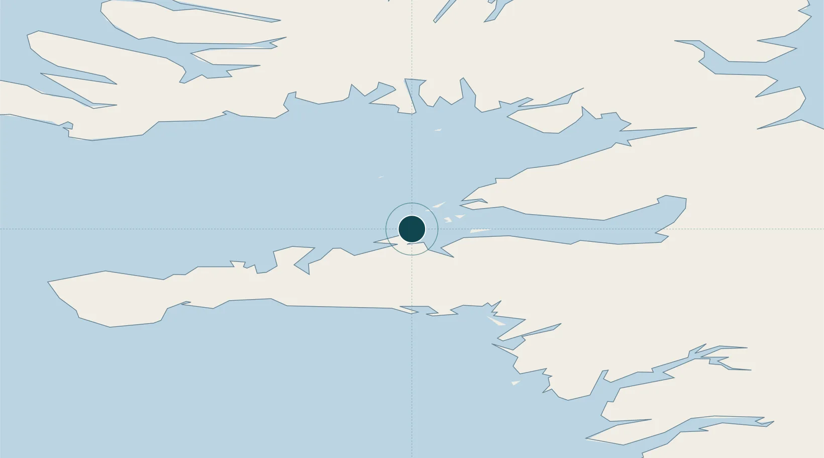
Water body
North Atlantic Ocean
NGA World Port Index

Location

Location of ISSTY
Natural Earth 10m (public domain) · Vestfirðir · ISSTY · 65.08, -22.73GoogleOSMYandex

Nearby Logistics Neighbours

Ports
  1. 1Grundarfjordur30 km
  2. 2Borgarnes71 km
  3. 3Bildudalur78 km
  4. 4Patreksfjordur82 km
  5. 5Hvammstangi90 km
Nearest neighbours — logibook spatial index (haversine) over the source coordinates
Cities
  1. 1Flatey33 km
  2. 2Budardalur45 km
  3. 3Reykhólar48 km
  4. 4Olafsvík51 km
  5. 5Brjánslækur55 km
Nearest neighbours — logibook spatial index (haversine) over the source coordinates
Airports
  1. 1Bildudalur Airport73 km
  2. 2Ísafjörður Airport110 km
  3. 3Reykjavík Domestic Airport113 km
  4. 4Keflavik International Airport122 km
  5. 5Siglufjörður Airport211 km
Nearest neighbours — logibook spatial index (haversine) over the source coordinates
Trade Zones
  1. 1Prestwick Airport Free Zone1449 km
  2. 2Carlisle Kingmoor Park Enterprise Zone1562 km
  3. 3Isle of Man Free Zone and Business Park1580 km
  4. 4Shannon Free Zone1582 km
  5. 5Dublin International Financial Services Centre1597 km
Nearest neighbours — logibook spatial index (haversine) over the source coordinates
DatabookThe Record of Consolidated Knowledge
Iceland beyond logistics?
Browse databook

All Sources

Portsthe NGA World Port Index
Public domain (US gov)
AirportsOurAirports
Public domain
LocationsUN/LOCODE
UN/LOCODE — free
Trade Zonesthe World Bank SEZ database
CC BY 4.0
Trade ZonesOpen Zone Map
CC BY
← Iceland ports