Transport Functions
Port
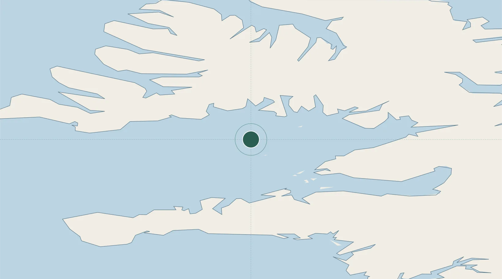
Hub Profile
Place type
Populated place
Region
Westfjords
Population
10
Time zone
Atlantic/Reykjavik
Elevation
5 m
Location
Nearby Logistics Neighbours
Cities
- 1Brjánslækur22 km
- 2Reykhólar35 km
- 3Budardalur61 km
- 4Olafsvík65 km
- 5Ospakseyri70 km
Ports
- 1Stykkisholmur33 km
- 2Bildudalur47 km
- 3Grundarfjordur50 km
- 4Patreksfjordur56 km
- 5Thingeyri63 km
Airports
- 1Bildudalur Airport42 km
- 2Ísafjörður Airport77 km
- 3Reykjavík Domestic Airport146 km
- 4Keflavik International Airport154 km
- 5Siglufjörður Airport203 km
Trade Zones
DatabookThe Record of Consolidated Knowledge
Iceland beyond logistics?