Seaport · Iceland

PatreksfjordurISPAT

65.6000°, -24.0000°
22.0 m
Channel depth

Channel & Berth Profile

SEA LEVEL (CD)CHANNEL BEDChannel · 22.0 m
NGA World Port Index

Facilities & Capabilities

Container
Ro-Ro
Liquid bulk
Dry bulkYES
Oil terminal
Break bulk
Dry dock
Repairs
Bunkering
Rail link
Dangerous cargo
ISPS securityYES
NGA World Port Index

Harbour Specifications

Water body
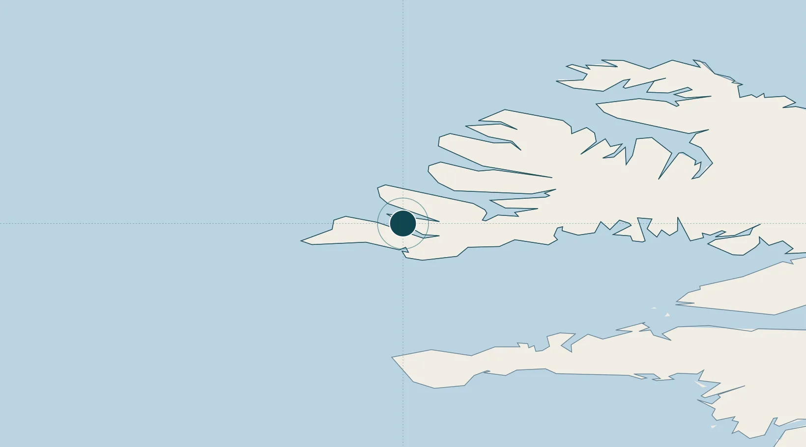
Denmark Strait; North Atlantic Ocean
NGA World Port Index

Location

Location of ISPAT
Natural Earth 10m (public domain) · Vestfirðir · ISPAT · 65.60, -24.00GoogleOSMYandex

Nearby Logistics Neighbours

Ports
  1. 1Bildudalur21 km
  2. 2Thingeyri39 km
  3. 3Isafjordur66 km
  4. 4Bolungarvik72 km
  5. 5Grundarfjordur82 km
Nearest neighbours — logibook spatial index (haversine) over the source coordinates
Cities
  1. 1Brjánslækur38 km
  2. 2Flatey56 km
  3. 3Bolungarvik68 km
  4. 4Olafsvík81 km
  5. 5Reykhólar85 km
Nearest neighbours — logibook spatial index (haversine) over the source coordinates
Airports
  1. 1Bildudalur Airport21 km
  2. 2Ísafjörður Airport64 km
  3. 3Reykjavík Domestic Airport190 km
  4. 4Keflavik International Airport191 km
  5. 5Siglufjörður Airport239 km
Nearest neighbours — logibook spatial index (haversine) over the source coordinates
Trade Zones
  1. 1Prestwick Airport Free Zone1531 km
  2. 2Carlisle Kingmoor Park Enterprise Zone1644 km
  3. 3Isle of Man Free Zone and Business Park1662 km
  4. 4Shannon Free Zone1663 km
  5. 5Dublin International Financial Services Centre1679 km
Nearest neighbours — logibook spatial index (haversine) over the source coordinates
DatabookThe Record of Consolidated Knowledge
Iceland beyond logistics?
Browse databook

All Sources

Portsthe NGA World Port Index
Public domain (US gov)
AirportsOurAirports
Public domain
LocationsUN/LOCODE
UN/LOCODE — free
Trade Zonesthe World Bank SEZ database
CC BY 4.0
Trade ZonesOpen Zone Map
CC BY
← Iceland ports