Transport Functions
Port
Hub Profile
Region
3
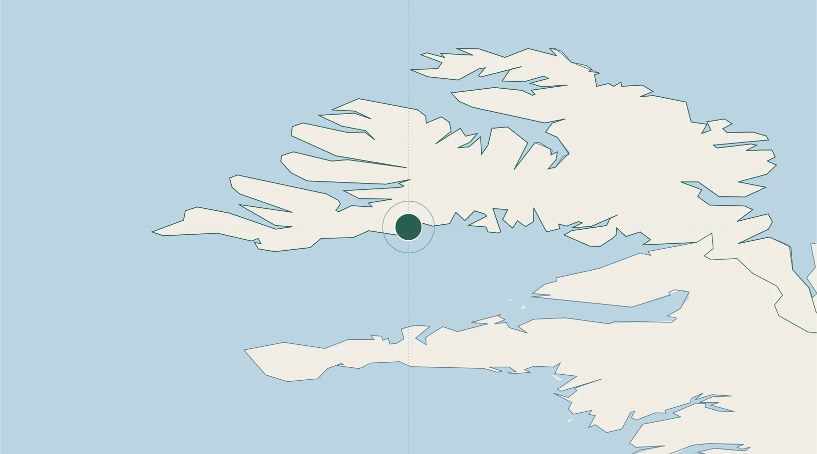
Location
Nearby Logistics Neighbours
Cities
- 1Flatey22 km
- 2Reykhólar47 km
- 3Bolungarvik67 km
- 4Olafsvík76 km
- 5Budardalur81 km
Ports
- 1Bildudalur25 km
- 2Patreksfjordur38 km
- 3Thingeyri41 km
- 4Stykkisholmur55 km
- 5Isafjordur59 km
Airports
- 1Bildudalur Airport20 km
- 2Ísafjörður Airport58 km
- 3Reykjavík Domestic Airport167 km
- 4Keflavik International Airport175 km
- 5Siglufjörður Airport207 km
Trade Zones
DatabookThe Record of Consolidated Knowledge
Iceland beyond logistics?