Transport Functions
Port
Road
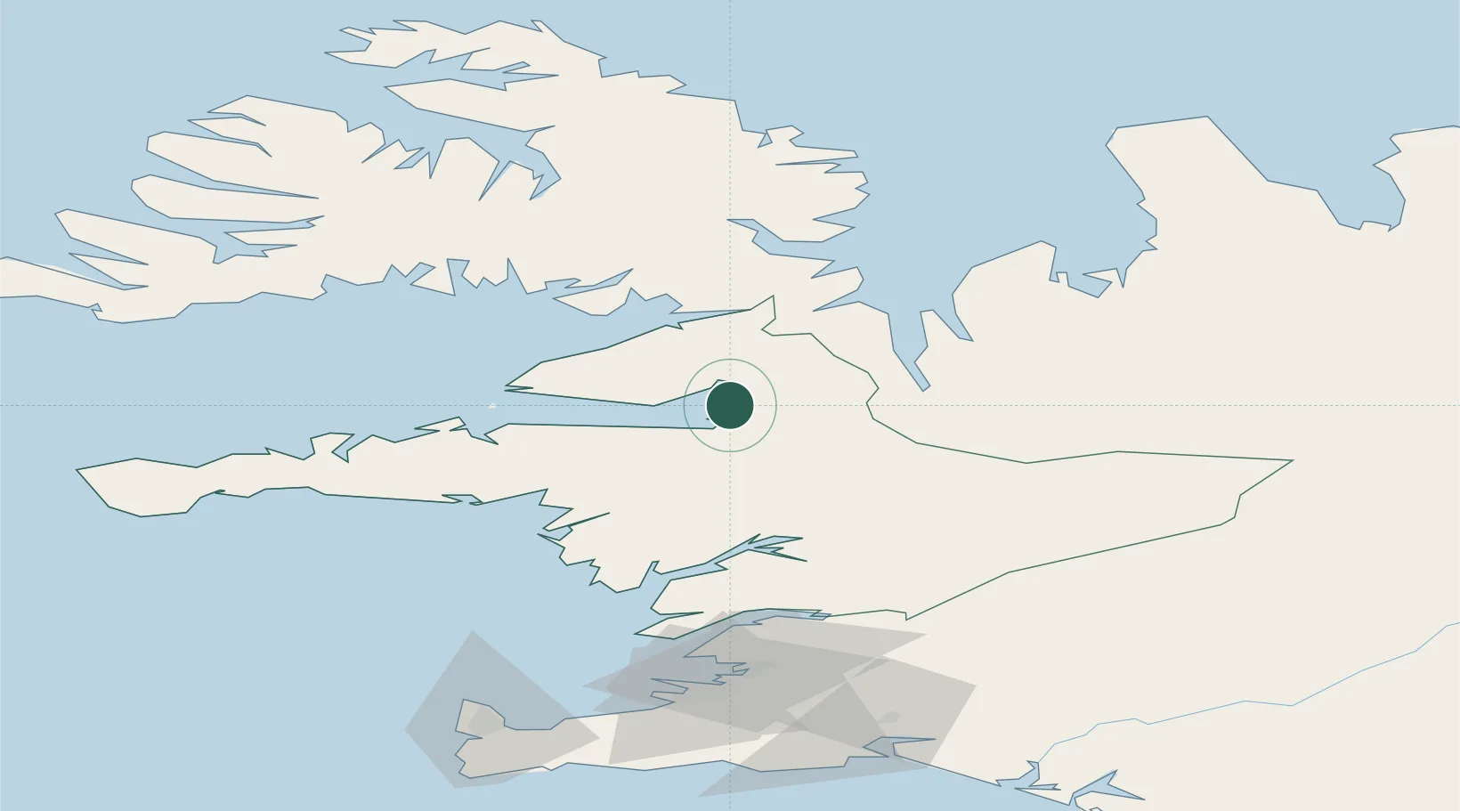
Hub Profile
Place type
Populated place
Region
West
Population
266
Time zone
Atlantic/Reykjavik
Elevation
35 m
Location
Nearby Logistics Neighbours
Cities
- 1Ospakseyri40 km
- 2Reykhólar42 km
- 3Flatey61 km
- 4Brjánslækur81 km
- 5Litli Sandur81 km
Ports
- 1Stykkisholmur45 km
- 2Hvammstangi49 km
- 3Borgarnes63 km
- 4Grundarfjordur73 km
- 5Litlisandur83 km
Airports
- 1Bildudalur Airport101 km
- 2Reykjavík Domestic Airport110 km
- 3Ísafjörður Airport122 km
- 4Keflavik International Airport132 km
- 5Siglufjörður Airport174 km
Trade Zones
DatabookThe Record of Consolidated Knowledge
Iceland beyond logistics?