Transport Functions
Port
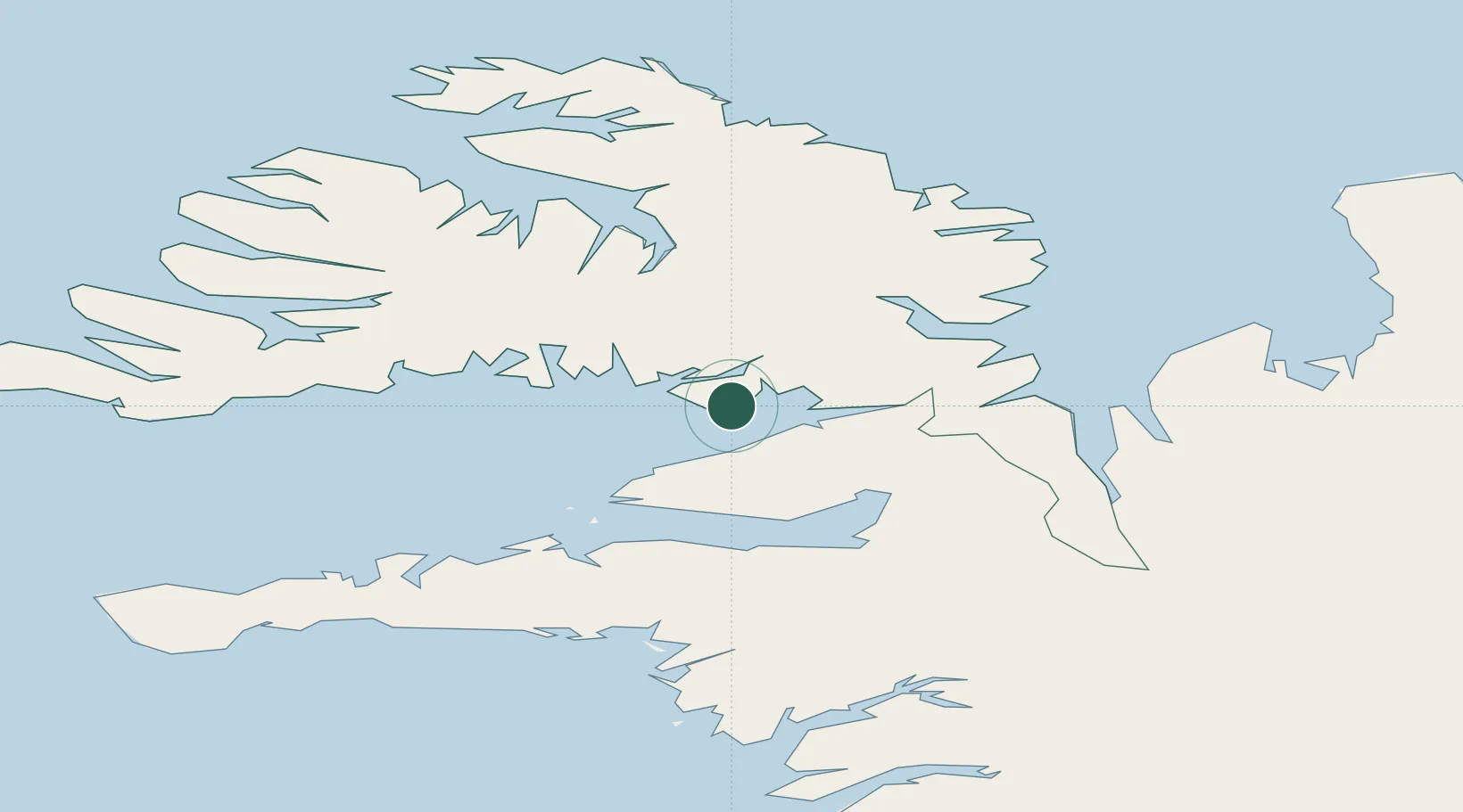
Hub Profile
Place type
Populated place
Region
Westfjords
Population
135
Time zone
Atlantic/Reykjavik
Elevation
2 m
Location
Nearby Logistics Neighbours
Cities
- 1Flatey35 km
- 2Ospakseyri35 km
- 3Budardalur42 km
- 4Brjánslækur47 km
- 5Bolungarvik90 km
Ports
- 1Stykkisholmur48 km
- 2Hvammstangi58 km
- 3Bildudalur69 km
- 4Grundarfjordur76 km
- 5Thingeyri76 km
Airports
- 1Bildudalur Airport66 km
- 2Ísafjörður Airport80 km
- 3Reykjavík Domestic Airport147 km
- 4Keflavik International Airport164 km
- 5Siglufjörður Airport168 km
Trade Zones
DatabookThe Record of Consolidated Knowledge
Iceland beyond logistics?