Medium airport · Iceland

Bildudalur AirportBIBD
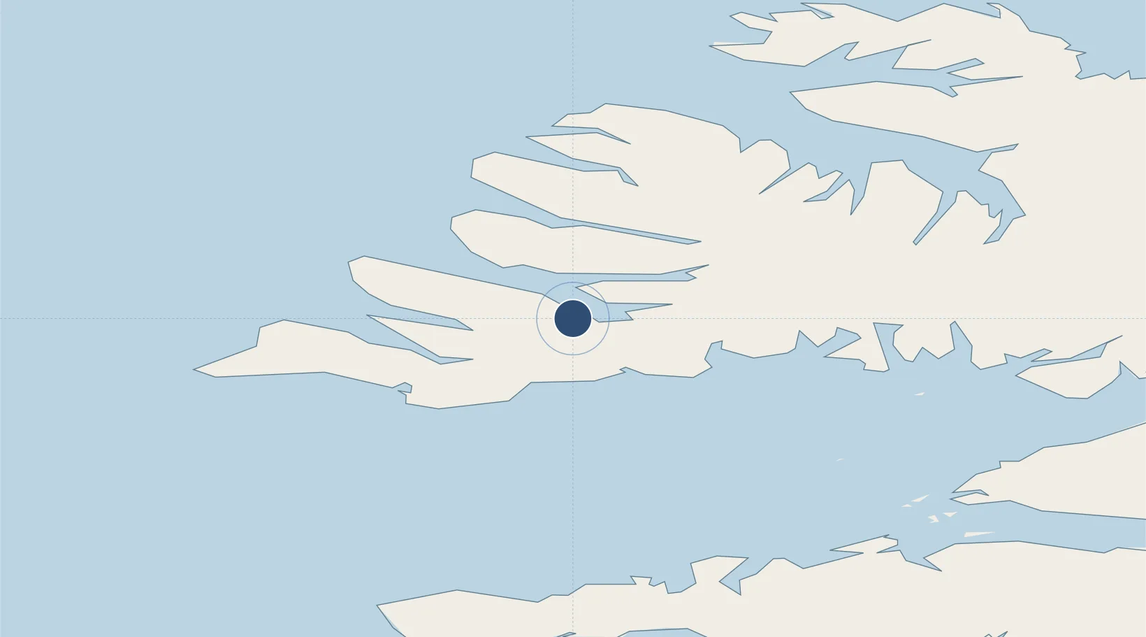
65.6413°, -23.5462°
3,084 ft
Longest runway
1
Runways
18 ft
Elevation

Runway & Layout

Bildudalur Airport runway & taxiway layout
Runway & taxiway layout — OpenStreetMap (ODbL) / OurAirports

Radio Frequencies

ACC
119.7 MHz
REYKJAVIK ACC
AFIS
119.1 MHz
INFO
OurAirports

Runways · 1

RunwayDimensions SurfaceTrue headingLit
04/22 3,084 × 98ft Asphalt 028°
OurAirports

Airport Specifications

IATA code
BIU
OurAirports
ICAO code
BIBD
OurAirports
Airport class
Medium airport
OurAirports
Scheduled service
No
OurAirports
Runway surface
Asphalt
OurAirports
Served city
Bildudalur
OurAirports

Location

Location of BIBD
Natural Earth 10m (public domain) · Vestfirðir · BIBD · 65.64, -23.55GoogleOSMYandex

Nearby Logistics Neighbours

Airports
  1. 1Ísafjörður Airport50 km
  2. 2Reykjavík Domestic Airport185 km
  3. 3Keflavik International Airport190 km
  4. 4Siglufjörður Airport218 km
  5. 5Akureyri International Airport251 km
Nearest neighbours — logibook spatial index (haversine) over the source coordinates
Cities
  1. 1Brjánslækur20 km
  2. 2Flatey42 km
  3. 3Bolungarvik56 km
  4. 4Reykhólar66 km
  5. 5Olafsvík85 km
Nearest neighbours — logibook spatial index (haversine) over the source coordinates
Ports
  1. 1Bildudalur5 km
  2. 2Patreksfjordur21 km
  3. 3Thingeyri27 km
  4. 4Isafjordur51 km
  5. 5Bolungarvik60 km
Nearest neighbours — logibook spatial index (haversine) over the source coordinates
Trade Zones
  1. 1Prestwick Airport Free Zone1518 km
  2. 2Carlisle Kingmoor Park Enterprise Zone1630 km
  3. 3Isle of Man Free Zone and Business Park1649 km
  4. 4Shannon Free Zone1654 km
  5. 5Dublin International Financial Services Centre1668 km
Nearest neighbours — logibook spatial index (haversine) over the source coordinates
DatabookThe Record of Consolidated Knowledge
Iceland beyond logistics?
Browse databook

All Sources

AirportsOurAirports
Public domain
Portsthe NGA World Port Index
Public domain (US gov)
LocationsUN/LOCODE
UN/LOCODE — free
Trade Zonesthe World Bank SEZ database
CC BY 4.0
Trade ZonesOpen Zone Map
CC BY
InfrastructureOpenStreetMap
ODbL 1.0
← Iceland airports