Transport Functions
Multimodal
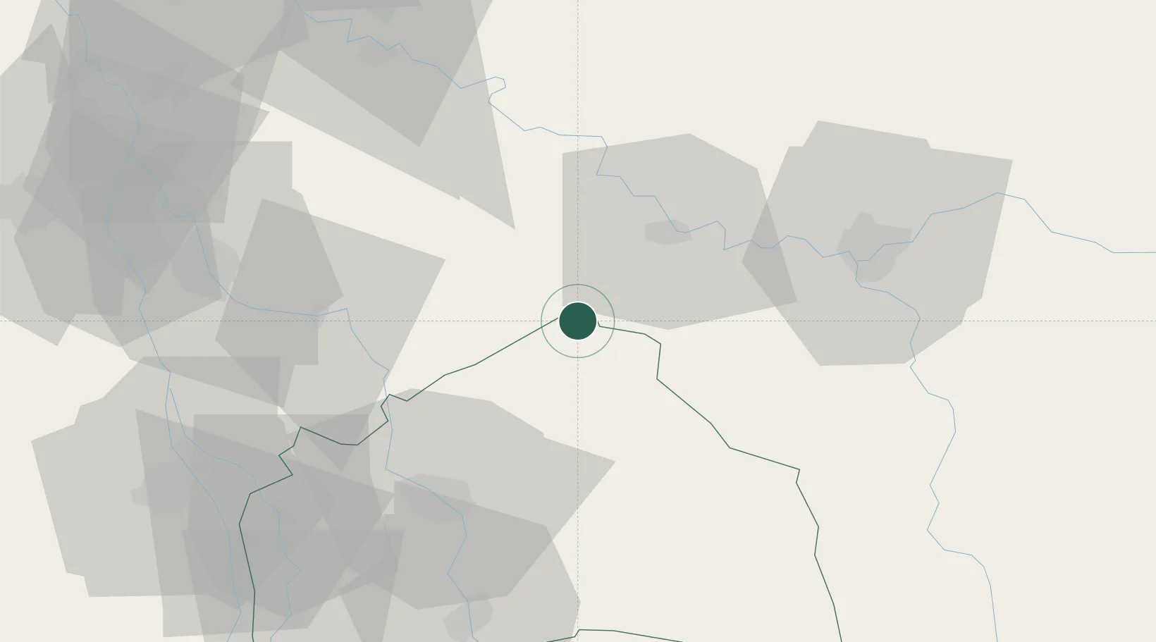
Hub Profile
Place type
Populated place
Region
Al-Qadisiyah
Time zone
Asia/Baghdad
Elevation
20 m
Location
Nearby Logistics Neighbours
Ports
- 1Al Basrah324 km
- 2Khawr Al Zubair353 km
- 3Khorramshahr355 km
- 4Abadan370 km
- 5Umm Qasr370 km
Airports
Trade Zones
DatabookThe Record of Consolidated Knowledge
Iraq beyond logistics?