Large airport · Iraq

Al Najaf International AirportORNI
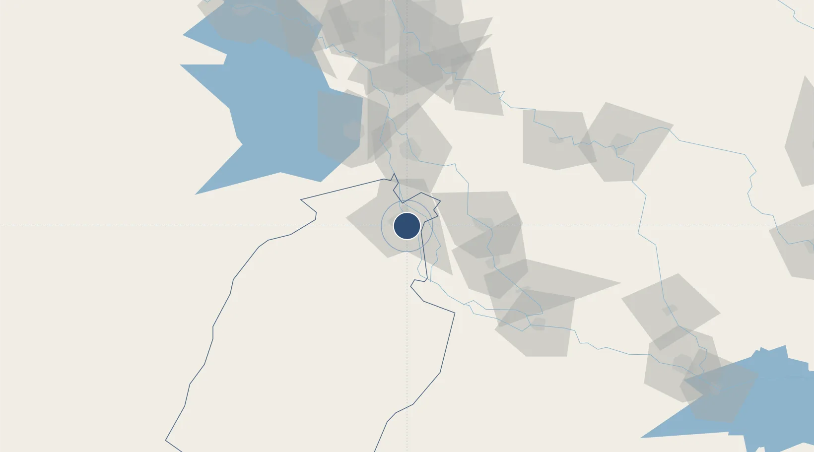
31.9911°, 44.4050°
9,842 ft
Longest runway
1
Runways
103 ft
Elevation

Runway & Layout

Al Najaf International Airport runway & taxiway layout
Runway & taxiway layout — OpenStreetMap (ODbL) / OurAirports

Radio Frequencies

ATIS
123.9 MHz
TWR
119.1 MHz
Najaf Tower
GND
121.7 MHz
Najaf Ground
OurAirports

Runways · 1

RunwayDimensions SurfaceTrue headingLit
10/28 9,842 × 148ft Asphalt 097°
OurAirports

Airport Specifications

IATA code
NJF
OurAirports
ICAO code
ORNI
OurAirports
Airport class
Large airport
OurAirports
Scheduled service
Yes
OurAirports
Runway surface
Asphalt
OurAirports
Served city
Najaf
OurAirports

Location

Location of ORNI
Natural Earth 10m (public domain) · An-Najaf · ORNI · 31.99, 44.41GoogleOSMYandex

Nearby Logistics Neighbours

Airports
  1. 1Ubaydah Bin Al Jarrah Airport138 km
  2. 2Baghdad International Airport / New Al Muthana Air Base142 km
  3. 3Rasheed Air Base144 km
  4. 4Al Taqaddum Air Base168 km
  5. 5Al Taji Army Air Field171 km
Nearest neighbours — logibook spatial index (haversine) over the source coordinates
Cities
  1. 1Najaf10 km
  2. 2Al Hillah55 km
  3. 3Wasit88 km
  4. 4Dhi Qar89 km
  5. 5Baghdåd147 km
Nearest neighbours — logibook spatial index (haversine) over the source coordinates
Ports
  1. 1Al Basrah365 km
  2. 2Khawr Al Zubair389 km
  3. 3Khorramshahr399 km
  4. 4Umm Qasr403 km
  5. 5Abadan413 km
Nearest neighbours — logibook spatial index (haversine) over the source coordinates
Trade Zones
  1. 1Qasr-e-Shirin Special Economic Zone302 km
  2. 2Arar Industrial City330 km
  3. 3Lorestan Special Economic Zone351 km
  4. 4Al Abdali Free Economic Zone372 km
  5. 5Arvand Trade Industrial Free Zone404 km
Nearest neighbours — logibook spatial index (haversine) over the source coordinates
DatabookThe Record of Consolidated Knowledge
Iraq beyond logistics?
Browse databook

All Sources

AirportsOurAirports
Public domain
Portsthe NGA World Port Index
Public domain (US gov)
LocationsUN/LOCODE
UN/LOCODE — free
Trade Zonesthe World Bank SEZ database
CC BY 4.0
Trade ZonesOpen Zone Map
CC BY
InfrastructureOpenStreetMap
ODbL 1.0
← Iraq airports