Seaport · Iraq

Khawr Al ZubairIQKAZ
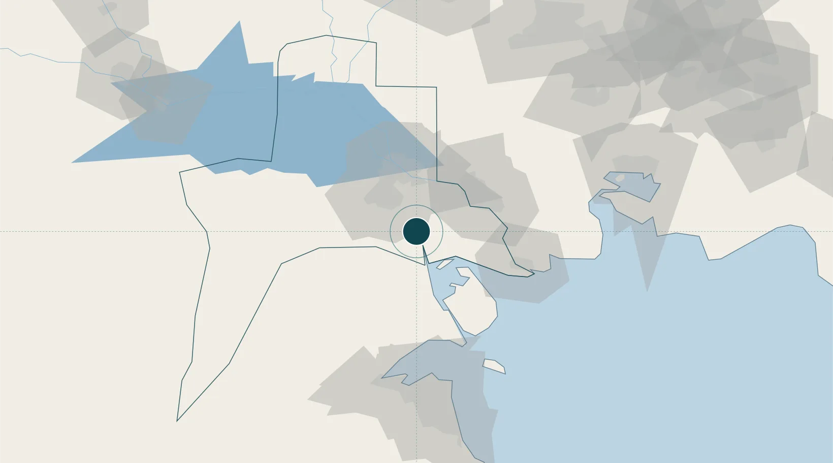
30.1833°, 47.9000°
3.4 m
Channel depth
13.0
Port liner connectivity

Channel & Berth Profile

SEA LEVEL (CD)CHANNEL BEDChannel · 3.4 mCargo pier · 7.9 mOil terminal · 7.9 mAnchorage · 11.0 m
NGA World Port Index

Pilotage, Tugs & Services

Pilotage compulsoryYES
Tug assistanceYES
Potable waterYES
MedicalYES
NGA World Port Index

Facilities & Capabilities

Container
Ro-Ro
Liquid bulk
Dry bulk
Oil terminal
Break bulk
Dry dock
Repairs
BunkeringYES
Rail linkYES
Dangerous cargo
ISPS security
NGA World Port Index

Harbour Specifications

Harbour size
Very Small
NGA World Port Index
Harbour type
River (Natural)
NGA World Port Index
Shelter
Fair
NGA World Port Index
Water body
Persian Gulf; Indian Ocean
NGA World Port Index
Tidal range
3 m
NGA World Port Index
Pilotage
Yes
NGA World Port Index

Liner Connectivity

13
PLSCI

Port Liner Shipping Connectivity Index for Khawr Al Zubair, as published by UNCTAD for the latest available quarter. Higher values indicate stronger scheduled liner-shipping integration.

Shown relative to the highest per-port PLSCI in the dataset (1,657.9).

UNCTAD · Port Liner Shipping Connectivity Index

Location

Location of IQKAZ
Natural Earth 10m (public domain) · Al-Basrah · IQKAZ · 30.18, 47.90GoogleOSMYandex

Nearby Logistics Neighbours

Ports
  1. 1Umm Qasr19 km
  2. 2Al Basrah38 km
  3. 3Khorramshahr39 km
  4. 4Abadan40 km
  5. 5Doha Harbor90 km
Nearest neighbours — logibook spatial index (haversine) over the source coordinates
Cities
  1. 1Umm Qasr Port15 km
  2. 2Mafraq Ash Shuaybah40 km
  3. 3Doha90 km
  4. 4Shuwaikh93 km
  5. 5Ra's al Ard94 km
Nearest neighbours — logibook spatial index (haversine) over the source coordinates
Airports
  1. 1Abadan Ayatollah Jami International Airport38 km
  2. 2Basra International Airport47 km
  3. 3Ali Al Salem Air Base101 km
  4. 4Kuwait International Airport107 km
  5. 5Mahshahr Airport127 km
Nearest neighbours — logibook spatial index (haversine) over the source coordinates
Trade Zones
  1. 1Arvand Trade Industrial Free Zone38 km
  2. 2Al Abdali Free Economic Zone42 km
  3. 3Kuwait Free Trade Zone92 km
  4. 4Al Naim (Al Shegaya) Free Economic Zone97 km
  5. 5Imam Khomeini Port115 km
Nearest neighbours — logibook spatial index (haversine) over the source coordinates
DatabookThe Record of Consolidated Knowledge
Iraq beyond logistics?
Browse databook

All Sources

Portsthe NGA World Port Index
Public domain (US gov)
Logistics performanceUNCTAD
CC BY 3.0 IGO
AirportsOurAirports
Public domain
LocationsUN/LOCODE
UN/LOCODE — free
Trade Zonesthe World Bank SEZ database
CC BY 4.0
Trade ZonesOpen Zone Map
CC BY
← Iraq ports