Seaport · Iran

AbadanIRABD

30.3333°, 48.2833°
9.4 m
Channel depth
8.3
Port liner connectivity

Channel & Berth Profile

SEA LEVEL (CD)CHANNEL BEDChannel · 9.4 mAnchorage · 9.4 mCargo pier · 9.4 m
NGA World Port Index

Pilotage, Tugs & Services

Pilotage compulsoryYES
Pilotage availableYES
Pilotage advisableYES
Tug assistanceYES
Salvage tugsNO
Potable waterYES
Diesel bunkersYES
MedicalYES
NGA World Port Index

Facilities & Capabilities

Container
Ro-Ro
Liquid bulk
Dry bulk
Oil terminal
Break bulk
Dry dockNO
RepairsNO
BunkeringYES
Rail link
Dangerous cargo
ISPS security
NGA World Port Index

Harbour Specifications

Harbour size
Medium
NGA World Port Index
Harbour type
River (Natural)
NGA World Port Index
Shelter
Good
NGA World Port Index
Water body
Persian Gulf; Indian Ocean
NGA World Port Index
Tidal range
1 m
NGA World Port Index
Pilotage
Yes
NGA World Port Index

Liner Connectivity

8.3
PLSCI

Port Liner Shipping Connectivity Index for Abadan, as published by UNCTAD for the latest available quarter. Higher values indicate stronger scheduled liner-shipping integration.

Shown relative to the highest per-port PLSCI in the dataset (1,657.9).
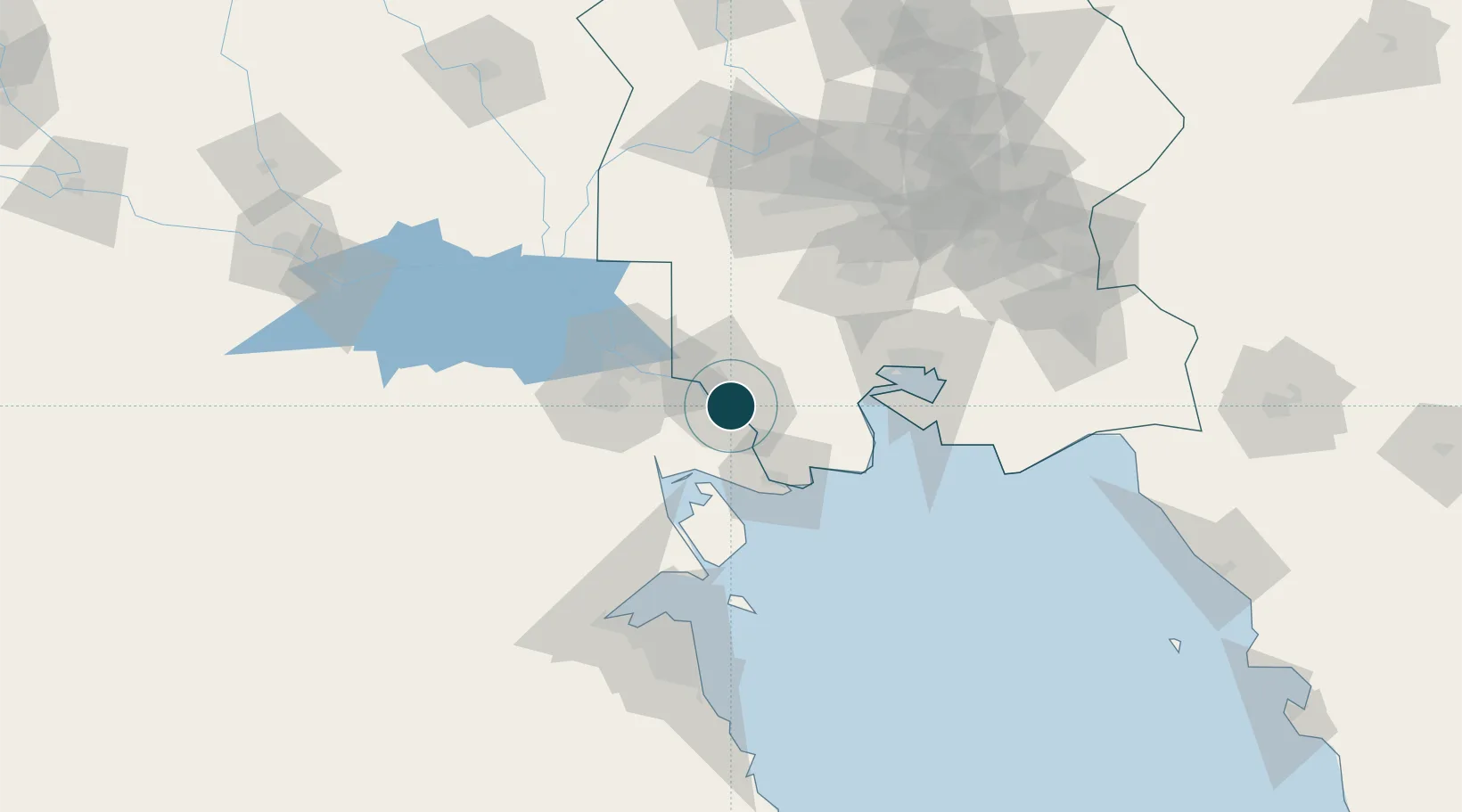
UNCTAD · Port Liner Shipping Connectivity Index

Location

Location of IRABD
Natural Earth 10m (public domain) · Khuzestan · IRABD · 30.33, 48.28GoogleOSMYandex

Nearby Logistics Neighbours

Ports
  1. 1Khorramshahr15 km
  2. 2Khawr Al Zubair40 km
  3. 3Umm Qasr48 km
  4. 4Al Basrah48 km
  5. 5Bandar Khomeyni78 km
Nearest neighbours — logibook spatial index (haversine) over the source coordinates
Cities
  1. 1Umm Qasr Port46 km
  2. 2Mafraq Ash Shuaybah63 km
  3. 3Imam Khomeini Pt/ Mahshahr City76 km
  4. 4Bandar-e Emam Khomeyni79 km
  5. 5Bandar Khomeini79 km
Nearest neighbours — logibook spatial index (haversine) over the source coordinates
Airports
  1. 1Abadan Ayatollah Jami International Airport6 km
  2. 2Basra International Airport64 km
  3. 3Mahshahr Airport87 km
  4. 4Qasem Soleimani International Airport121 km
  5. 5Kuwait International Airport127 km
Nearest neighbours — logibook spatial index (haversine) over the source coordinates
Trade Zones
  1. 1Arvand Trade Industrial Free Zone9 km
  2. 2Imam Khomeini Port76 km
  3. 3Petrochemical Special Economic Zone79 km
  4. 4Al Abdali Free Economic Zone82 km
  5. 5Kuwait Free Trade Zone115 km
Nearest neighbours — logibook spatial index (haversine) over the source coordinates
DatabookThe Record of Consolidated Knowledge
Iran beyond logistics?
Browse databook

All Sources

Portsthe NGA World Port Index
Public domain (US gov)
Logistics performanceUNCTAD
CC BY 3.0 IGO
AirportsOurAirports
Public domain
LocationsUN/LOCODE
UN/LOCODE — free
Trade Zonesthe World Bank SEZ database
CC BY 4.0
Trade ZonesOpen Zone Map
CC BY
← Iran ports