Diversified Zone · Iran

Qasr-e-Shirin Special Economic Zone Under Development
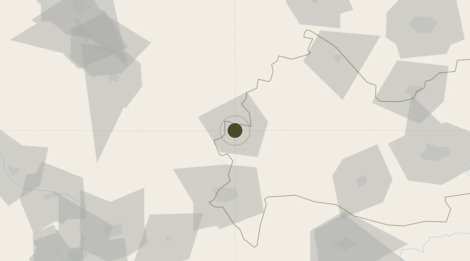
34.5201°, 45.5787°
1,335 ha
Zone area
492.8 km
Nearest port
86.0 km
Nearest airport

Gateway access

Nearest neighbours — logibook spatial index (haversine) over the source coordinates

Zone profile

Zone type
Diversified Zone
Open Zone Map
Region
Kermanshah
Open Zone Map
Status
Under Development
Open Zone Map
Management
Private
Open Zone Map
Operator
Cooperative Organization and Municipalities of Kermanshah Province
Open Zone Map
Legal framework
Law on the Administration of Free Trade-Industrial Zones of the Islamic Republic of Iran
Open Zone Map

Location

Location of ozm-2485
Natural Earth 10m (public domain) · Kermanshah · ozm-2485 · 34.52, 45.58GoogleOSMYandex

Nearby Logistics Neighbours

Ports
  1. 1Al Basrah493 km
  2. 2Khorramshahr516 km
  3. 3Khawr Al Zubair529 km
  4. 4Abadan530 km
  5. 5Umm Qasr548 km
Nearest neighbours — logibook spatial index (haversine) over the source coordinates
Airports
  1. 1Salum Air Base86 km
  2. 2Tuz Khurmatu Air Base110 km
  3. 3Sulaymaniyah International Airport118 km
  4. 4Samarra East Air Base / Dhuluiya Airport127 km
  5. 5Ilam Airport129 km
Nearest neighbours — logibook spatial index (haversine) over the source coordinates
Cities
  1. 1Ba'qubah122 km
  2. 2Kermanshah (Bakhtaran)137 km
  3. 3Balad145 km
  4. 4Samarra'161 km
  5. 5Taji165 km
Nearest neighbours — logibook spatial index (haversine) over the source coordinates
Trade Zones
  1. 1Baneh Special Economic Zone170 km
  2. 2Lorestan Special Economic Zone223 km
  3. 3West Islamabad Special Economic Zone301 km
  4. 4Jahan Abad Special Economic Zone321 km
  5. 5Al Yarubiyah Free Zone408 km
Nearest neighbours — logibook spatial index (haversine) over the source coordinates
DatabookThe Record of Consolidated Knowledge
Iran beyond logistics?
Browse databook

All Sources

Trade ZonesOpen Zone Map
CC BY
Portsthe NGA World Port Index
Public domain (US gov)
AirportsOurAirports
Public domain
LocationsUN/LOCODE
UN/LOCODE — free
← Iran trade zones