Transport Functions
Multimodal
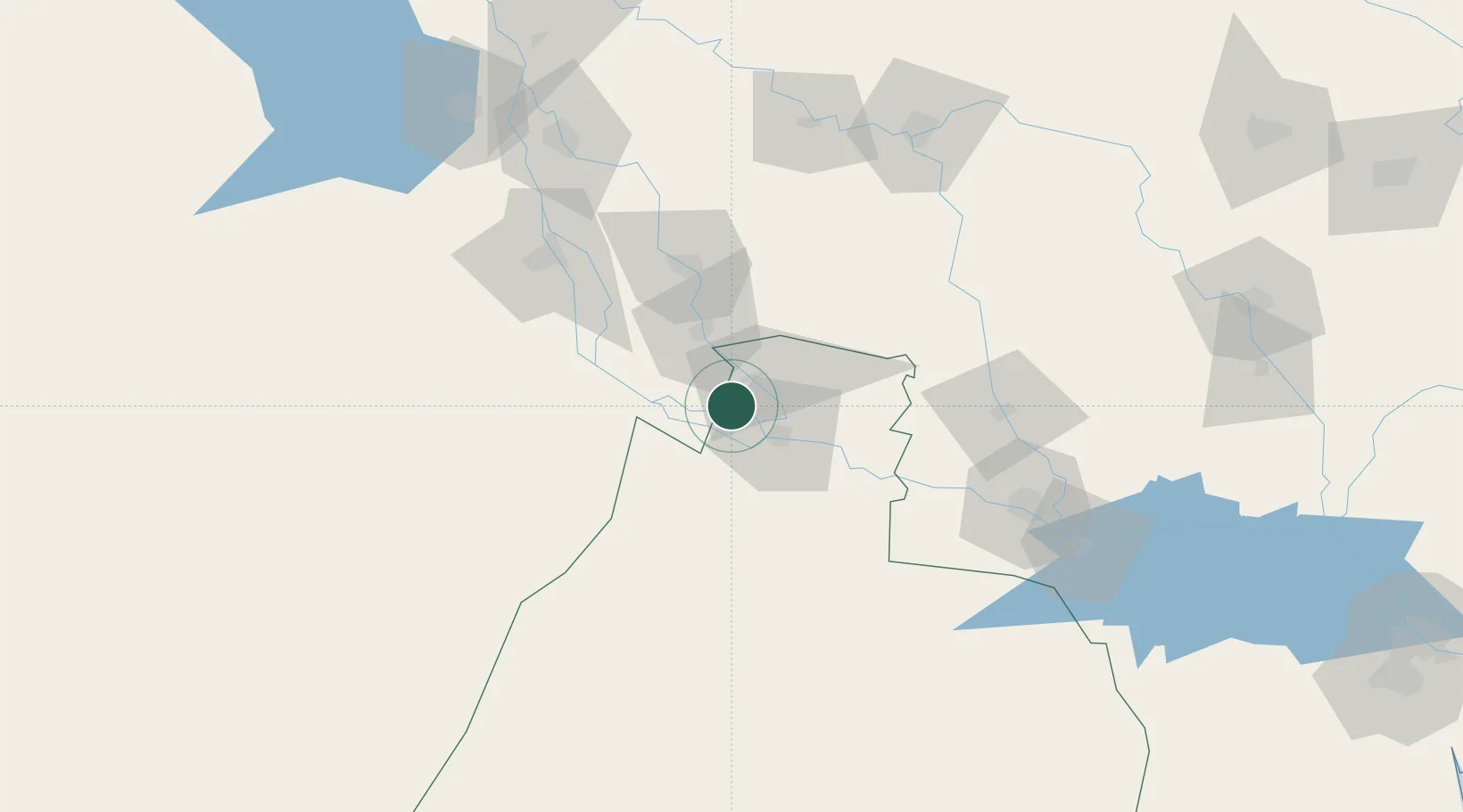
Hub Profile
Place type
Populated place
Region
Muthanna
Time zone
Asia/Baghdad
Elevation
13 m
Location
Nearby Logistics Neighbours
Ports
- 1Al Basrah281 km
- 2Khawr Al Zubair302 km
- 3Khorramshahr315 km
- 4Umm Qasr316 km
- 5Abadan328 km
Airports
- 1Al Najaf International Airport89 km
- 2Ali Air Base110 km
- 3Ubaydah Bin Al Jarrah Airport130 km
- 4Kut Al Hayy East Air Base142 km
- 5Jalibah Southeast Air Base175 km
Trade Zones
DatabookThe Record of Consolidated Knowledge
Iraq beyond logistics?