Transport Functions
Port
Hub Profile
Place type
Regional capital
Region
Babil
Population
455,700
Time zone
Asia/Baghdad
Elevation
33 m
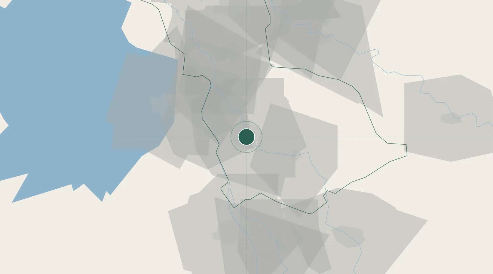
Location
Nearby Logistics Neighbours
Cities
- 1Najaf57 km
- 2Wasit74 km
- 3Baghdåd93 km
- 4Taji116 km
- 5Al Taqaddum123 km
Ports
- 1Al Basrah390 km
- 2Khawr Al Zubair417 km
- 3Khorramshahr422 km
- 4Umm Qasr432 km
- 5Abadan437 km
Airports
Trade Zones
- 1Qasr-e-Shirin Special Economic Zone250 km
- 2Lorestan Special Economic Zone324 km
- 3Arar Industrial City354 km
- 4Al Abdali Free Economic Zone405 km
- 5Baneh Special Economic Zone416 km
DatabookThe Record of Consolidated Knowledge
Iraq beyond logistics?