UN/LOCODE hub · Iraq
IQNJF

Najaf

31.9833°, 44.3000°
482,576
Population
3
Transport functions

Transport Functions

Port
Road
Airport
UN/LOCODE

Hub Profile

Place type
Regional capital
GeoNames
Region
An Najaf
GeoNames
Population
482,576
GeoNames
Time zone
Asia/Baghdad
GeoNames
Elevation
41 m
GeoNames

Location

Location of IQNJF
Natural Earth 10m (public domain) · An Najaf · IQNJF · 31.98, 44.30GoogleOSMYandex

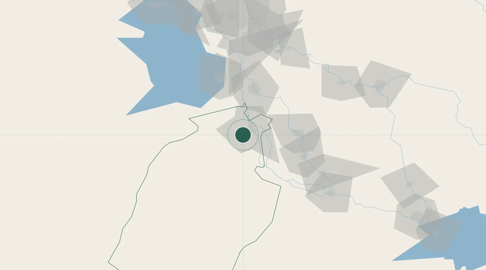
Nearby Logistics Neighbours

Cities
  1. 1Al Hillah57 km
  2. 2Dhi Qar96 km
  3. 3Wasit97 km
  4. 4Baghdåd148 km
  5. 5Al Taqaddum164 km
Nearest neighbours — logibook spatial index (haversine) over the source coordinates
Ports
  1. 1Al Basrah373 km
  2. 2Khawr Al Zubair397 km
  3. 3Khorramshahr408 km
  4. 4Umm Qasr411 km
  5. 5Abadan421 km
Nearest neighbours — logibook spatial index (haversine) over the source coordinates
Airports
  1. 1Al Najaf International Airport10 km
  2. 2Baghdad International Airport / New Al Muthana Air Base142 km
  3. 3Rasheed Air Base145 km
  4. 4Ubaydah Bin Al Jarrah Airport148 km
  5. 5Al Taqaddum Air Base164 km
Nearest neighbours — logibook spatial index (haversine) over the source coordinates
Trade Zones
  1. 1Qasr-e-Shirin Special Economic Zone306 km
  2. 2Arar Industrial City321 km
  3. 3Lorestan Special Economic Zone360 km
  4. 4Al Abdali Free Economic Zone379 km
  5. 5Arvand Trade Industrial Free Zone412 km
Nearest neighbours — logibook spatial index (haversine) over the source coordinates
DatabookThe Record of Consolidated Knowledge
Iraq beyond logistics?
Browse databook

All Sources

LocationsUN/LOCODE
UN/LOCODE — free
LocationsGeoNames
CC BY 4.0
Portsthe NGA World Port Index
Public domain (US gov)
AirportsOurAirports
Public domain
Trade Zonesthe World Bank SEZ database
CC BY 4.0
Trade ZonesOpen Zone Map
CC BY
← Iraq locations