Seaport · Iraq

Al BasrahIQBSR

30.5167°, 47.8333°
8.3
Port liner connectivity

Channel & Berth Profile

NGA World Port Index

Facilities & Capabilities

Container
Ro-Ro
Liquid bulk
Dry bulk
Oil terminal
Break bulk
Dry dock
Repairs
Bunkering
Rail link
Dangerous cargo
ISPS security
NGA World Port Index

Harbour Specifications

Harbour size
Medium
NGA World Port Index
Harbour type
River (Natural)
NGA World Port Index
Shelter
Good
NGA World Port Index
Water body
Persian Gulf; Indian Ocean
NGA World Port Index
Tidal range
1 m
NGA World Port Index
Overhead limit
No
NGA World Port Index

Liner Connectivity

8.3
PLSCI

Port Liner Shipping Connectivity Index for Al Basrah, as published by UNCTAD for the latest available quarter. Higher values indicate stronger scheduled liner-shipping integration.

Shown relative to the highest per-port PLSCI in the dataset (1,657.9).
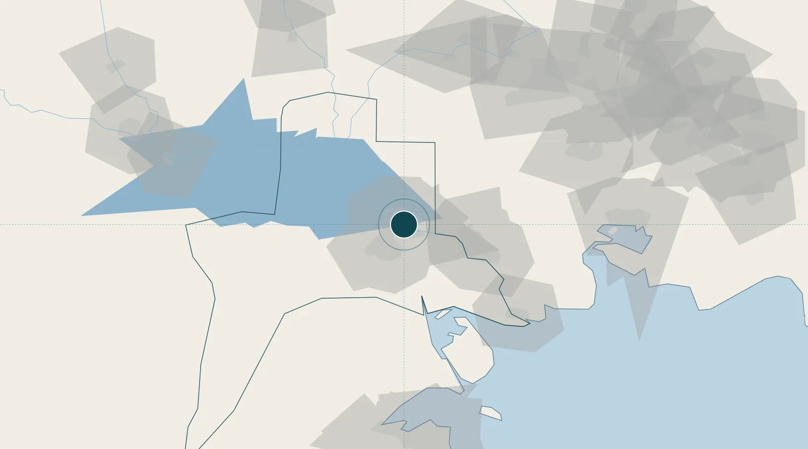
UNCTAD · Port Liner Shipping Connectivity Index

Location

Location of IQBSR
Natural Earth 10m (public domain) · Al-Basrah · IQBSR · 30.52, 47.83GoogleOSMYandex

Nearby Logistics Neighbours

Ports
  1. 1Khorramshahr35 km
  2. 2Khawr Al Zubair38 km
  3. 3Abadan48 km
  4. 4Umm Qasr57 km
  5. 5Bandar Khomeyni120 km
Nearest neighbours — logibook spatial index (haversine) over the source coordinates
Cities
  1. 1Mafraq Ash Shuaybah18 km
  2. 2Umm Qasr Port53 km
  3. 3Imam Khomeini Pt/ Mahshahr City119 km
  4. 4Bandar-e Emam Khomeyni122 km
  5. 5Bandar Khomeini122 km
Nearest neighbours — logibook spatial index (haversine) over the source coordinates
Airports
  1. 1Basra International Airport17 km
  2. 2Abadan Ayatollah Jami International Airport42 km
  3. 3Qalat Salih Air Base117 km
  4. 4Jalibah Southeast Air Base118 km
  5. 5Mahshahr Airport126 km
Nearest neighbours — logibook spatial index (haversine) over the source coordinates
Trade Zones
  1. 1Arvand Trade Industrial Free Zone39 km
  2. 2Al Abdali Free Economic Zone66 km
  3. 3Imam Khomeini Port118 km
  4. 4Petrochemical Special Economic Zone120 km
  5. 5Kuwait Free Trade Zone130 km
Nearest neighbours — logibook spatial index (haversine) over the source coordinates
DatabookThe Record of Consolidated Knowledge
Iraq beyond logistics?
Browse databook

All Sources

Portsthe NGA World Port Index
Public domain (US gov)
Logistics performanceUNCTAD
CC BY 3.0 IGO
AirportsOurAirports
Public domain
LocationsUN/LOCODE
UN/LOCODE — free
Trade Zonesthe World Bank SEZ database
CC BY 4.0
Trade ZonesOpen Zone Map
CC BY
← Iraq ports