Runway & Layout

Airport Specifications
Airport class
Medium airport
Scheduled service
No
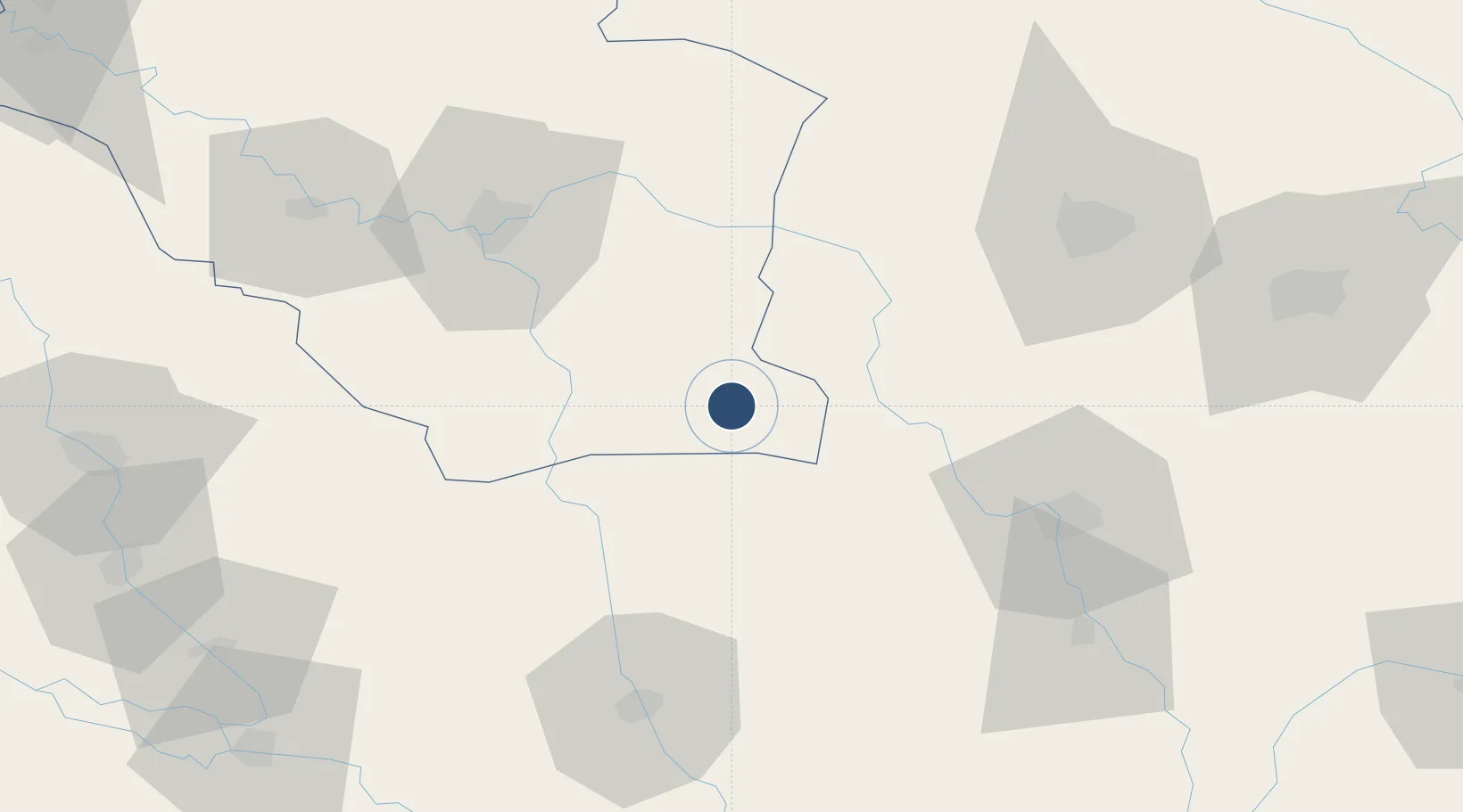
Location
Nearby Logistics Neighbours
Airports
- 1Ubaydah Bin Al Jarrah Airport71 km
- 2Qalat Salih Air Base113 km
- 3Ali Air Base134 km
- 4Ilam Airport163 km
- 5Jalibah Southeast Air Base176 km
Ports
- 1Al Basrah225 km
- 2Khorramshahr254 km
- 3Khawr Al Zubair259 km
- 4Abadan268 km
- 5Umm Qasr277 km
Trade Zones
DatabookThe Record of Consolidated Knowledge
Iraq beyond logistics?