Transport Functions
Port
Road
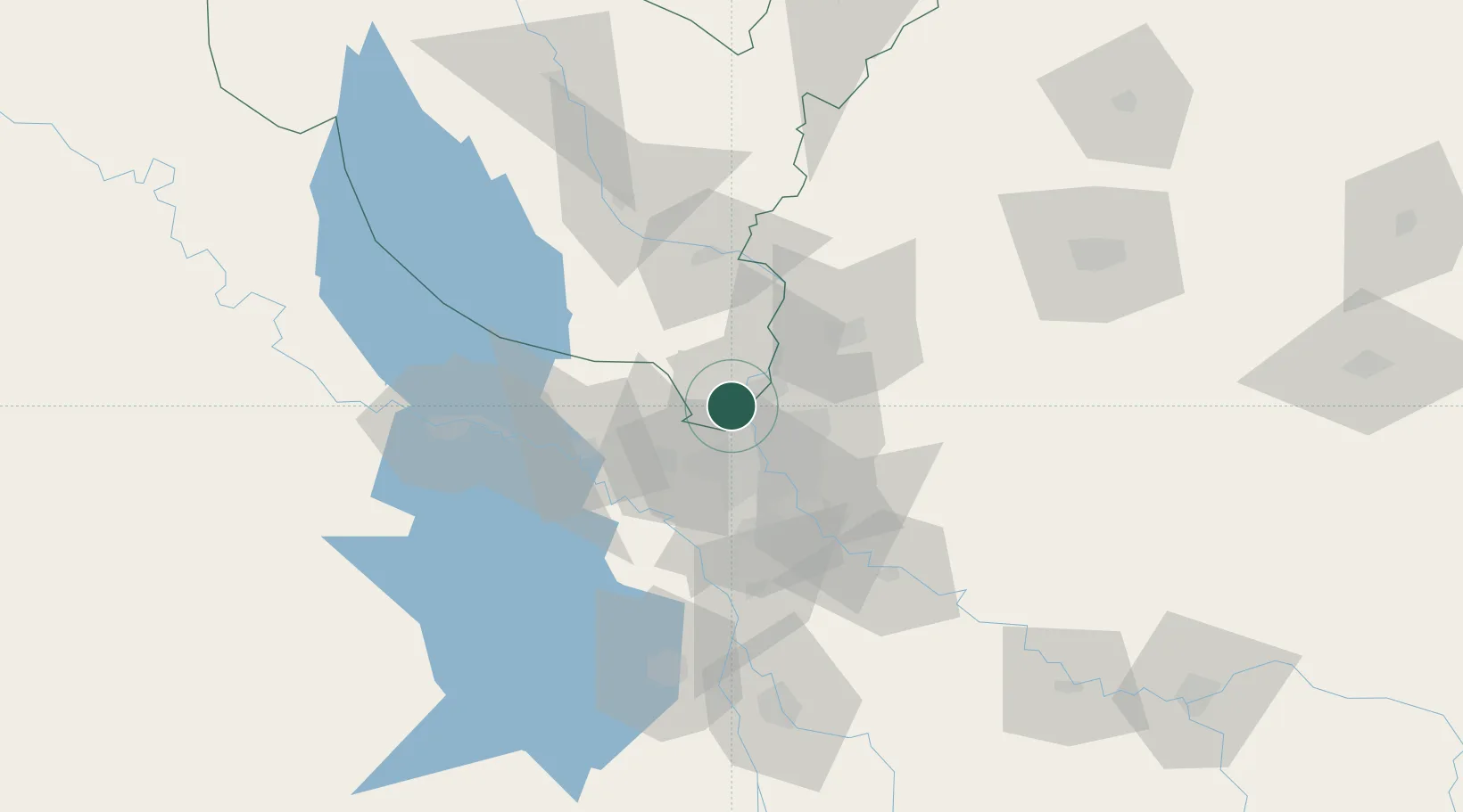
Location
Nearby Logistics Neighbours
Cities
- 1Baghdåd24 km
- 2Ba'qubah43 km
- 3Balad55 km
- 4Al Taqaddum67 km
- 5Samarra'85 km
Ports
- 1Al Basrah474 km
- 2Khorramshahr504 km
- 3Khawr Al Zubair505 km
- 4Abadan519 km
- 5Umm Qasr522 km
Airports
Trade Zones
- 1Qasr-e-Shirin Special Economic Zone165 km
- 2Baneh Special Economic Zone316 km
- 3Lorestan Special Economic Zone317 km
- 4Arar Industrial City406 km
- 5Al Yarubiyah Free Zone418 km
DatabookThe Record of Consolidated Knowledge
Iraq beyond logistics?