Runway & Layout

Airport Specifications
Airport class
Medium airport
Scheduled service
No
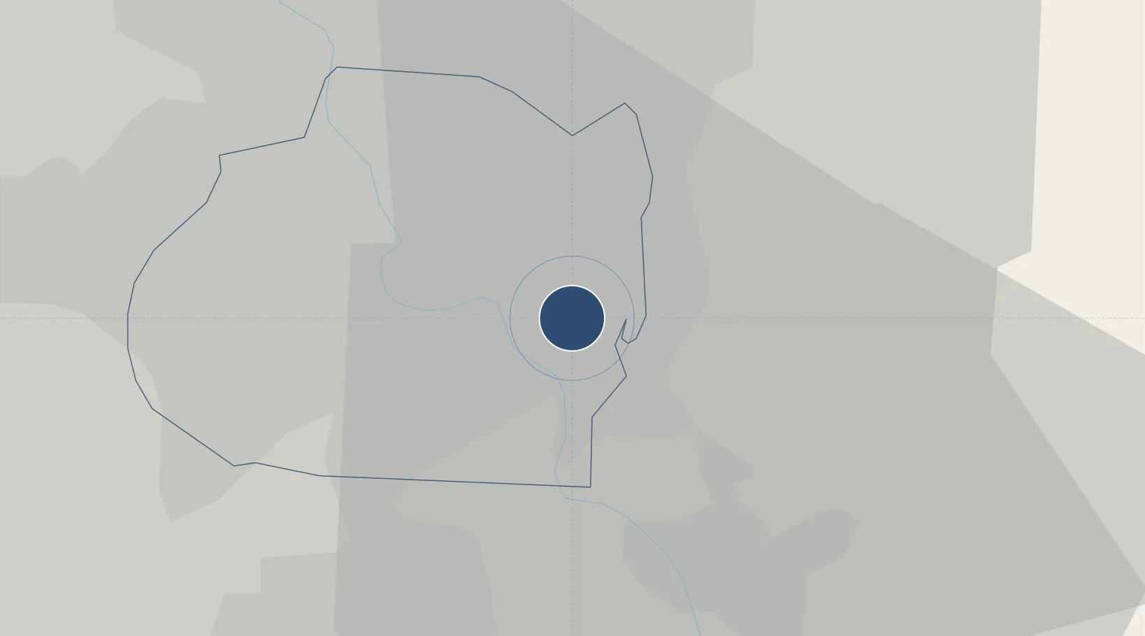
Served city
Baghdad
Location
Nearby Logistics Neighbours
Airports
Cities
- 1Baghdåd13 km
- 2Taji34 km
- 3Ba'qubah54 km
- 4Al Taqaddum85 km
- 5Balad87 km
Ports
- 1Al Basrah440 km
- 2Khorramshahr471 km
- 3Khawr Al Zubair471 km
- 4Abadan485 km
- 5Umm Qasr489 km
Trade Zones
DatabookThe Record of Consolidated Knowledge
Iraq beyond logistics?