Seaport · Iraq
Umm QasrIQUQR
30.0167°, 47.9500°
11.0 m
Channel depth
5
Container terminals
194.8
Port liner connectivity
Channel & Berth Profile
Pilotage, Tugs & Services
Pilotage compulsoryYES
Pilotage availableYES
Pilotage advisableYES
Tug assistanceYES
Potable waterYES
MedicalYES
Garbage disposalYES
Facilities & Capabilities
Container—
Ro-Ro—
Liquid bulk—
Dry bulk—
Oil terminal—
Break bulk—
Dry dockNO
RepairsNO
BunkeringYES
Rail link—
Dangerous cargo—
ISPS security—
Harbour Specifications
Harbour size
Small
Harbour type
River (Natural)
Shelter
Excellent
Water body
Persian Gulf; Indian Ocean
Tidal range
1 m
Overhead limit
No
Pilotage
Yes
Liner Connectivity
194.8
PLSCI
Port Liner Shipping Connectivity Index for Umm Qasr, as published by UNCTAD for the latest available quarter. Higher values indicate stronger scheduled liner-shipping integration.
Shown relative to the highest per-port PLSCI in the dataset (1,657.9).
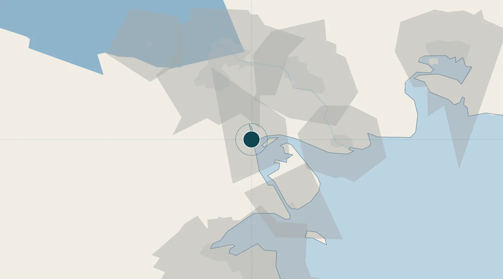
Location
Container Terminals · 5
BASRA GATEWAY TERMINAL EAST
BGTE INTERNATIONAL CONTAINER TERMINAL SERVICES, INC. (ICTSI)
BASRA GATEWAY TERMINAL WEST
BGTW INTERNATIONAL CONTAINER TERMINAL SERVICES, INC. (ICTSI)
BASRA MULTIPURPOSE TERMINAL (BMT)
BMT
CMA CGM TERMINALS IRAQ
CCTI CMA TERMINALS
IRAQ CONTAINER TERMINAL (ICT)
ICT GULFTAINER
Nearby Logistics Neighbours
Ports
- 1Khawr Al Zubair19 km
- 2Abadan48 km
- 3Khorramshahr52 km
- 4Al Basrah57 km
- 5Doha Harbor72 km
Cities
- 1Mafraq Ash Shuaybah58 km
- 2Doha72 km
- 3Shuwaikh74 km
- 4Ra's al Ard75 km
- 5Kaifan76 km
Airports
Trade Zones
DatabookThe Record of Consolidated Knowledge
Iraq beyond logistics?