Diversified Zone · Iran

Lorestan Special Economic Zone Active
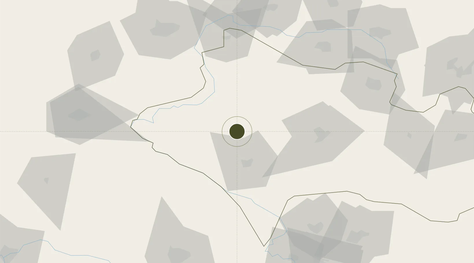
33.5255°, 47.6830°
71 ha
Zone area
334.9 km
Nearest port
56.5 km
Nearest airport

Gateway access

Nearest neighbours — logibook spatial index (haversine) over the source coordinates

Zone profile

Zone type
Diversified Zone
Open Zone Map
Region
Lorestan
Open Zone Map
Status
Active
Open Zone Map
Management
Public
Open Zone Map
Operator
Lorestan Industrial Parks Company
Open Zone Map
Legal framework
Law of Establishment and Administration of Special Economic Zones of Islamic Republic of Iran
Open Zone Map

Location

Location of ozm-2469
Natural Earth 10m (public domain) · Lorestan · ozm-2469 · 33.53, 47.68GoogleOSMYandex

Nearby Logistics Neighbours

Ports
  1. 1Al Basrah335 km
  2. 2Khorramshahr347 km
  3. 3Abadan359 km
  4. 4Bandar Khomeyni368 km
  5. 5Bandar-E Mahshahr368 km
Nearest neighbours — logibook spatial index (haversine) over the source coordinates
Airports
  1. 1Khoram Abad Airport57 km
  2. 2Shahid Ashrafi Esfahani Airport103 km
  3. 3Ilam Airport119 km
  4. 4Dezful Airport138 km
  5. 5Hamadan Airport170 km
Nearest neighbours — logibook spatial index (haversine) over the source coordinates
Cities
  1. 1Kermanshah (Bakhtaran)104 km
  2. 2Baneh172 km
  3. 3Wasit263 km
  4. 4Ba'qubah283 km
  5. 5Nasiriyah306 km
Nearest neighbours — logibook spatial index (haversine) over the source coordinates
Trade Zones
  1. 1Jahan Abad Special Economic Zone209 km
  2. 2Qasr-e-Shirin Special Economic Zone223 km
  3. 3Salafchegan Special Economic Zone276 km
  4. 4Kaveh Special Economic Zone304 km
  5. 5Shahrekord ShahrKord Special Economic Zone319 km
Nearest neighbours — logibook spatial index (haversine) over the source coordinates
DatabookThe Record of Consolidated Knowledge
Iran beyond logistics?
Browse databook

All Sources

Trade ZonesOpen Zone Map
CC BY
Portsthe NGA World Port Index
Public domain (US gov)
AirportsOurAirports
Public domain
LocationsUN/LOCODE
UN/LOCODE — free
← Iran trade zones