Large airport · Iraq
Baghdad International Airport / New Al Muthana Air BaseORBI
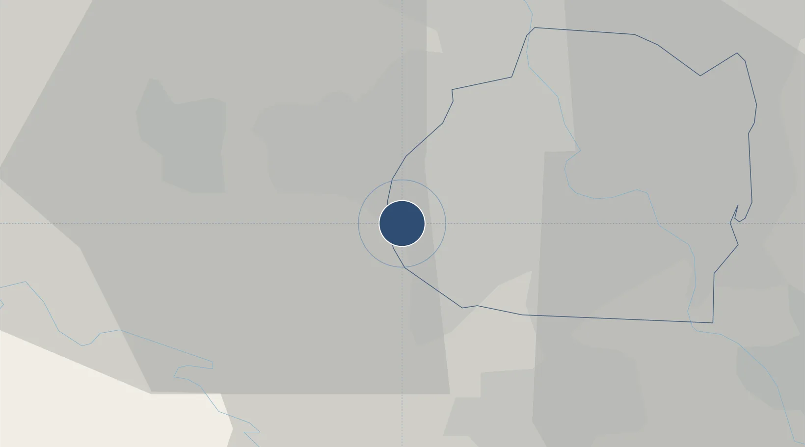
33.2625°, 44.2346°
13,124 ft
Longest runway
2
Runways
114 ft
Elevation
Runway & Layout

Radio Frequencies
ATIS
127.25 MHz
INFO
TWR
118.7 MHz
GND
121.7 MHz
APP
128.2 MHz
DEP
131.9 MHz
ACC
123.52 MHz
BALAD ACC
HEL
131.7 MHz
HELO
PMSV
116.15 MHz
METRO
POST
133.5 MHz
COMD POST
RDO
127.35 MHz
Navaids
BAP TACAN Baghdad 133.70 MHz
Runways · 2
| Runway | Dimensions | Surface | True heading | Lit |
|---|---|---|---|---|
| 15L/33R | 13,124 × 197ft | Concrete | 150° | ✓ |
| 15R/33L | 10,830 × 148ft | Concrete | 150° | — |
Airport Specifications
IATA code
BGW
ICAO code
ORBI
Airport class
Large airport
Scheduled service
Yes
Runway surface
Concrete
Served city
Baghdad
Location
Nearby Logistics Neighbours
Airports
Cities
- 1Baghdåd13 km
- 2Taji28 km
- 3Al Taqaddum61 km
- 4Ba'qubah66 km
- 5Balad83 km
Ports
- 1Al Basrah457 km
- 2Khawr Al Zubair487 km
- 3Khorramshahr488 km
- 4Abadan502 km
- 5Umm Qasr504 km
Trade Zones
- 1Qasr-e-Shirin Special Economic Zone187 km
- 2Lorestan Special Economic Zone322 km
- 3Baneh Special Economic Zone343 km
- 4Arar Industrial City385 km
- 5Al Yarubiyah Free Zone442 km
DatabookThe Record of Consolidated Knowledge
Iraq beyond logistics?