Diversified Zone · Iran

Baneh Special Economic Zone Active
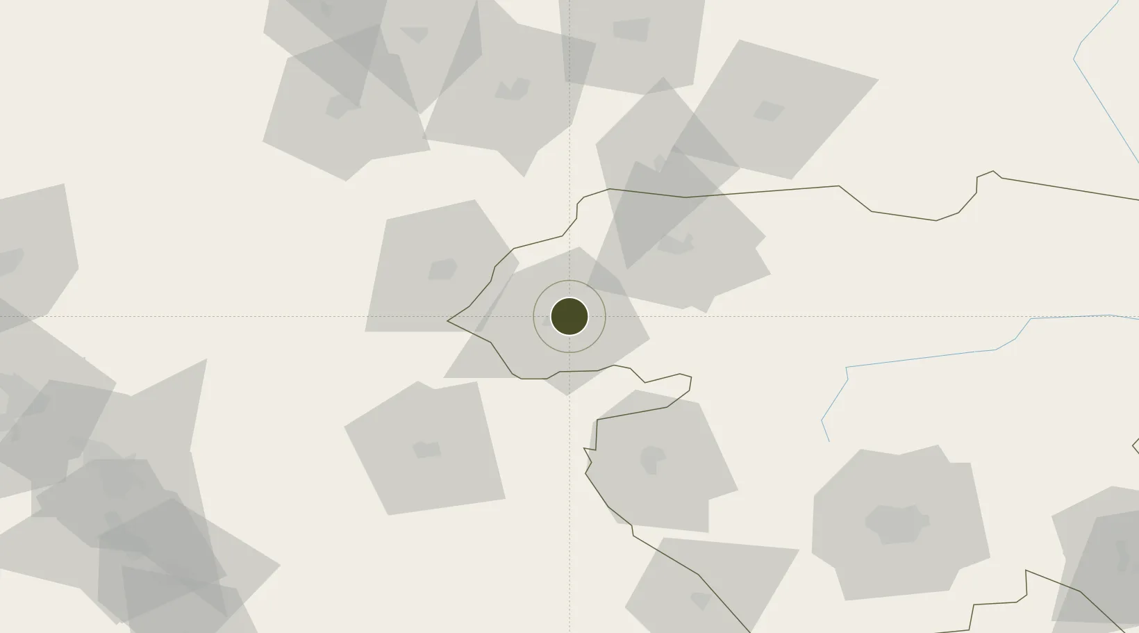
36.0202°, 45.9111°
5,105 ha
Zone area
637.5 km
Nearest port
74.0 km
Nearest airport

Gateway access

Nearest neighbours — logibook spatial index (haversine) over the source coordinates

Zone profile

Zone type
Diversified Zone
Open Zone Map
Region
Kordestan
Open Zone Map
Status
Active
Open Zone Map
Management
Public
Open Zone Map
Operator
Industrial Parks Company of Kurdistan Province
Open Zone Map
Legal framework
Law of Establishment and Administration of Special Economic Zones of Islamic Republic of Iran
Open Zone Map

Location

Location of ozm-2500
Natural Earth 10m (public domain) · Kordestan · ozm-2500 · 36.02, 45.91GoogleOSMYandex

Nearby Logistics Neighbours

Ports
  1. 1Al Basrah638 km
  2. 2Khorramshahr656 km
  3. 3Abadan670 km
  4. 4Khawr Al Zubair675 km
  5. 5Bandar Khomeyni688 km
Nearest neighbours — logibook spatial index (haversine) over the source coordinates
Airports
  1. 1Sulaymaniyah International Airport74 km
  2. 2Sanandaj Airport131 km
  3. 3Kirkuk International Airport154 km
  4. 4Tuz Khurmatu Air Base177 km
  5. 5Erbil International Airport178 km
Nearest neighbours — logibook spatial index (haversine) over the source coordinates
Cities
  1. 1Piran Shahr101 km
  2. 2Arbil173 km
  3. 3Irbil176 km
  4. 4Khosrowshahr213 km
  5. 5Kermanshah (Bakhtaran)218 km
Nearest neighbours — logibook spatial index (haversine) over the source coordinates
Trade Zones
  1. 1West Islamabad Special Economic Zone144 km
  2. 2Qasr-e-Shirin Special Economic Zone170 km
  3. 3Sahlan Special Economic Zone240 km
  4. 4Salmas Special Economic Zone264 km
  5. 5Jahan Abad Special Economic Zone303 km
Nearest neighbours — logibook spatial index (haversine) over the source coordinates
DatabookThe Record of Consolidated Knowledge
Iran beyond logistics?
Browse databook

All Sources

Trade ZonesOpen Zone Map
CC BY
Portsthe NGA World Port Index
Public domain (US gov)
AirportsOurAirports
Public domain
LocationsUN/LOCODE
UN/LOCODE — free
← Iran trade zones