Transport Functions
Port
Rail
Road
Airport
Postal
Hub Profile
Place type
National capital
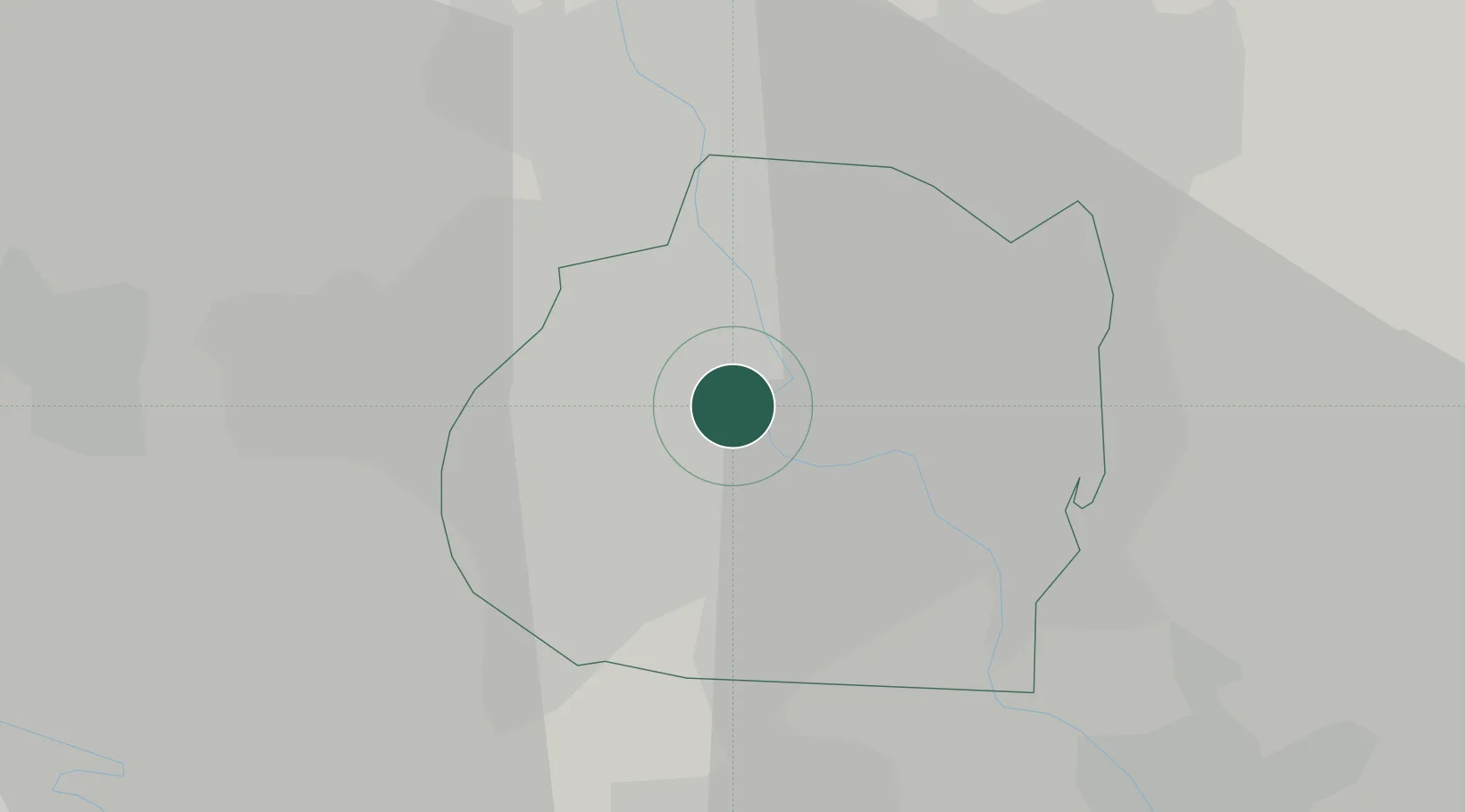
Region
Baghdad
Population
7,216,000
Time zone
Asia/Baghdad
Elevation
41 m
Logistics facilities
2
Location
Nearby Logistics Neighbours
Cities
- 1Taji24 km
- 2Ba'qubah55 km
- 3Al Taqaddum72 km
- 4Balad79 km
- 5Al Hillah93 km
Ports
- 1Al Basrah452 km
- 2Khorramshahr482 km
- 3Khawr Al Zubair483 km
- 4Abadan497 km
- 5Umm Qasr500 km
Airports
Trade Zones
- 1Qasr-e-Shirin Special Economic Zone175 km
- 2Lorestan Special Economic Zone309 km
- 3Baneh Special Economic Zone333 km
- 4Arar Industrial City398 km
- 5Al Yarubiyah Free Zone442 km
DatabookThe Record of Consolidated Knowledge
Iraq beyond logistics?