Medium airport · Iraq

Ubaydah Bin Al Jarrah AirportORUB
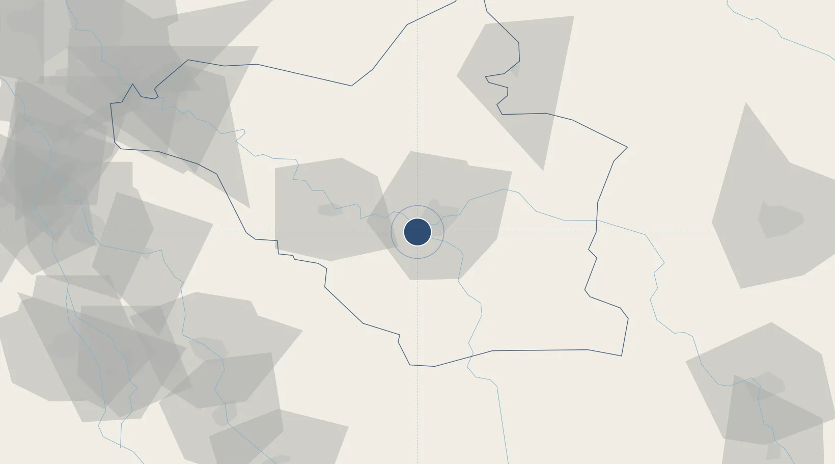
32.4820°, 45.7571°
11,666 ft
Longest runway
2
Runways
68 ft
Elevation

Runway & Layout

Ubaydah Bin Al Jarrah Airport runway & taxiway layout
Runway & taxiway layout — OpenStreetMap (ODbL) / OurAirports

Radio Frequencies

TWR
135.5 MHz
BLAIR TWR
OurAirports

Runways · 2

RunwayDimensions SurfaceTrue headingLit
11R/29L 11,666 × 148ft Asphalt 109°
11L/29R 10,174 × 148ft Concrete 109°
OurAirports

Airport Specifications

ICAO code
ORUB
OurAirports
Airport class
Medium airport
OurAirports
Scheduled service
No
OurAirports
Runway surface
Asphalt
OurAirports
Served city
Al Kut
OurAirports

Location

Location of ORUB
Natural Earth 10m (public domain) · Wasit · ORUB · 32.48, 45.76GoogleOSMYandex

Nearby Logistics Neighbours

Airports
  1. 1Kut Al Hayy East Air Base71 km
  2. 2Ilam Airport137 km
  3. 3Al Najaf International Airport138 km
  4. 4Rasheed Air Base148 km
  5. 5Baghdad International Airport / New Al Muthana Air Base167 km
Nearest neighbours — logibook spatial index (haversine) over the source coordinates
Cities
  1. 1Wasit52 km
  2. 2Al Hillah124 km
  3. 3Dhi Qar130 km
  4. 4Najaf148 km
  5. 5Baghdåd160 km
Nearest neighbours — logibook spatial index (haversine) over the source coordinates
Ports
  1. 1Al Basrah294 km
  2. 2Khorramshahr324 km
  3. 3Khawr Al Zubair327 km
  4. 4Abadan338 km
  5. 5Umm Qasr344 km
Nearest neighbours — logibook spatial index (haversine) over the source coordinates
Trade Zones
  1. 1Lorestan Special Economic Zone214 km
  2. 2Qasr-e-Shirin Special Economic Zone227 km
  3. 3Al Abdali Free Economic Zone325 km
  4. 4Arvand Trade Industrial Free Zone329 km
  5. 5Imam Khomeini Port386 km
Nearest neighbours — logibook spatial index (haversine) over the source coordinates
DatabookThe Record of Consolidated Knowledge
Iraq beyond logistics?
Browse databook

All Sources

AirportsOurAirports
Public domain
Portsthe NGA World Port Index
Public domain (US gov)
LocationsUN/LOCODE
UN/LOCODE — free
Trade Zonesthe World Bank SEZ database
CC BY 4.0
Trade ZonesOpen Zone Map
CC BY
InfrastructureOpenStreetMap
ODbL 1.0
← Iraq airports