Transport Functions
Port
Road
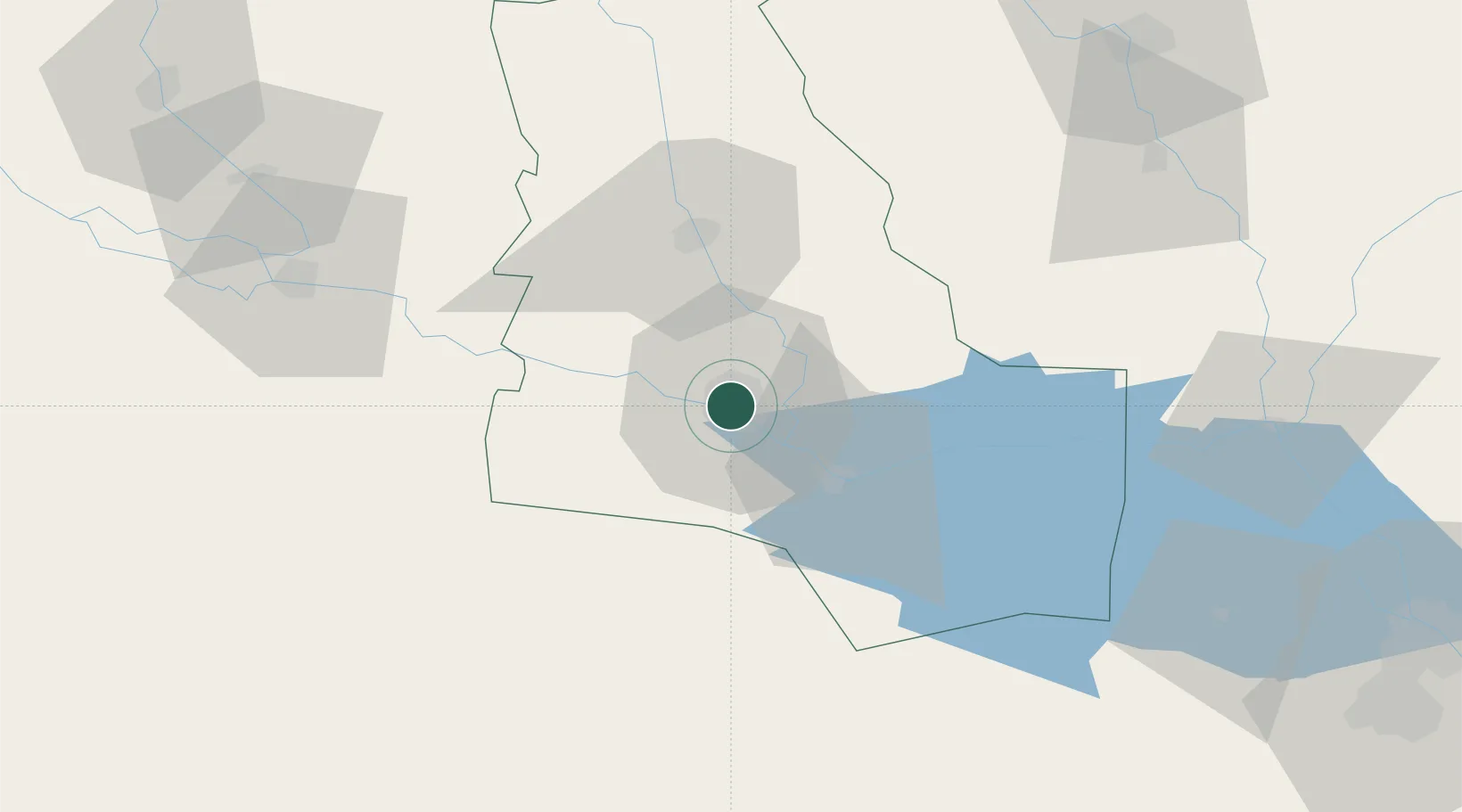
Hub Profile
Place type
Regional capital
Region
Dhi Qar
Population
558,400
Time zone
Asia/Baghdad
Elevation
7 m
Location
Nearby Logistics Neighbours
Cities
- 1Dhi Qar118 km
- 2Mafraq Ash Shuaybah149 km
- 3Wasit178 km
- 4Umm Qasr Port196 km
- 5Najaf212 km
Ports
- 1Al Basrah163 km
- 2Khawr Al Zubair185 km
- 3Khorramshahr197 km
- 4Umm Qasr199 km
- 5Abadan210 km
Airports
- 1Ali Air Base20 km
- 2Jalibah Southeast Air Base65 km
- 3Qalat Salih Air Base109 km
- 4Kut Al Hayy East Air Base119 km
- 5Basra International Airport146 km
Trade Zones
- 1Al Abdali Free Economic Zone170 km
- 2Arvand Trade Industrial Free Zone202 km
- 3Al Naim (Al Shegaya) Free Economic Zone236 km
- 4Kuwait Free Trade Zone247 km
- 5Imam Khomeini Port277 km
DatabookThe Record of Consolidated Knowledge
Iraq beyond logistics?