UN/LOCODE hub · Iraq
IQUQR

Umm Qasr Port

30.0487°, 47.9333°
3
Transport functions
4
Container terminals

Transport Functions

Port
Rail
Road
Umm Qasr Port is also a profiled seaport →
UN/LOCODE

Hub Profile

Region
BA
GeoNames
Logistics facilities
10
UN/LOCODE
Container terminals
4
UN/LOCODE

Location

Location of IQUQR
Natural Earth 10m (public domain) · BA · IQUQR · 30.05, 47.93GoogleOSMYandex

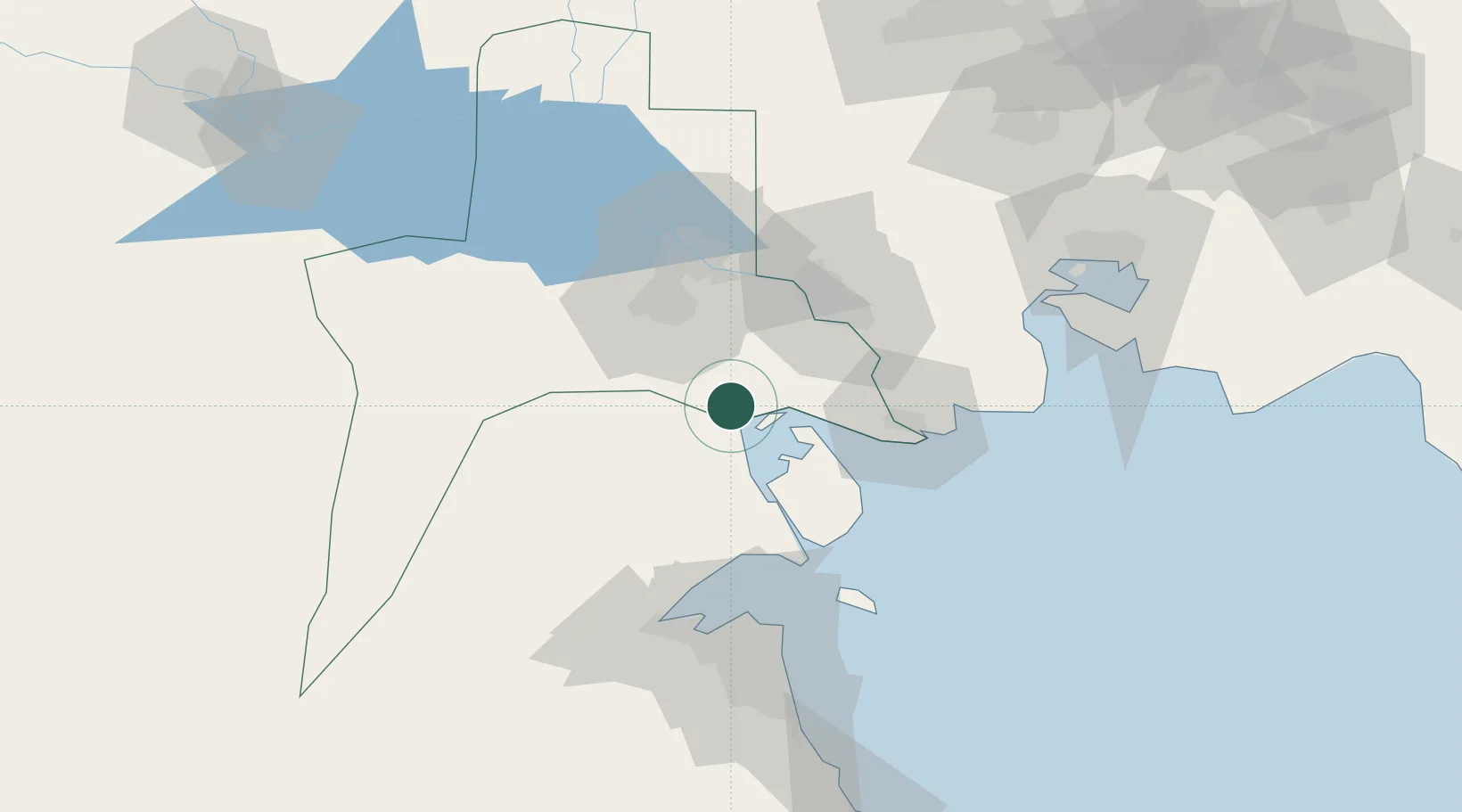
Nearby Logistics Neighbours

Cities
  1. 1Mafraq Ash Shuaybah54 km
  2. 2Doha75 km
  3. 3Shuwaikh78 km
  4. 4Ra's al Ard79 km
  5. 5Kaifan80 km
Nearest neighbours — logibook spatial index (haversine) over the source coordinates
Ports
  1. 1Khawr Al Zubair15 km
  2. 2Abadan46 km
  3. 3Khorramshahr49 km
  4. 4Al Basrah53 km
  5. 5Doha Harbor75 km
Nearest neighbours — logibook spatial index (haversine) over the source coordinates
Airports
  1. 1Abadan Ayatollah Jami International Airport46 km
  2. 2Basra International Airport61 km
  3. 3Ali Al Salem Air Base88 km
  4. 4Kuwait International Airport92 km
  5. 5Ahmed Al Jaber Air Base125 km
Nearest neighbours — logibook spatial index (haversine) over the source coordinates
Trade Zones
  1. 1Al Abdali Free Economic Zone40 km
  2. 2Arvand Trade Industrial Free Zone47 km
  3. 3Kuwait Free Trade Zone78 km
  4. 4Al Naim (Al Shegaya) Free Economic Zone83 km
  5. 5Imam Khomeini Port117 km
Nearest neighbours — logibook spatial index (haversine) over the source coordinates
DatabookThe Record of Consolidated Knowledge
Iraq beyond logistics?
Browse databook

All Sources

LocationsUN/LOCODE
UN/LOCODE — free
Portsthe NGA World Port Index
Public domain (US gov)
AirportsOurAirports
Public domain
Trade Zonesthe World Bank SEZ database
CC BY 4.0
Trade ZonesOpen Zone Map
CC BY
← Iraq locations