Large airport · Iraq

Basra International AirportORMM
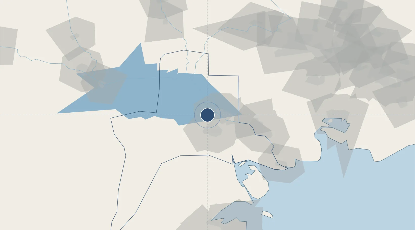
30.5491°, 47.6621°
13,124 ft
Longest runway
1
Runways
11 ft
Elevation

Runway & Layout

Basra International Airport runway & taxiway layout
Runway & taxiway layout — OpenStreetMap (ODbL) / OurAirports

Radio Frequencies

TWR
118.7 MHz
GND
125.9 MHz
APP
119.4 MHz
OPS
132.7 MHz
OurAirports

Navaids

BAR TACAN Basrah 108.30 MHz
BSR VOR-DME Basrah 112.30 MHz
OurAirports

Runways · 1

RunwayDimensions SurfaceTrue headingLit
14/32 13,124 × 148ft Concrete 138°
OurAirports

Airport Specifications

IATA code
BSR
OurAirports
ICAO code
ORMM
OurAirports
Airport class
Large airport
OurAirports
Scheduled service
Yes
OurAirports
Runway surface
Concrete
OurAirports
Served city
Basra
OurAirports

Location

Location of ORMM
Natural Earth 10m (public domain) · Al-Basrah · ORMM · 30.55, 47.66GoogleOSMYandex

Nearby Logistics Neighbours

Airports
  1. 1Abadan Ayatollah Jami International Airport58 km
  2. 2Jalibah Southeast Air Base101 km
  3. 3Qalat Salih Air Base107 km
  4. 4Ali Al Salem Air Base135 km
  5. 5Qasem Soleimani International Airport137 km
Nearest neighbours — logibook spatial index (haversine) over the source coordinates
Cities
  1. 1Mafraq Ash Shuaybah9 km
  2. 2Umm Qasr Port61 km
  3. 3Doha130 km
  4. 4Imam Khomeini Pt/ Mahshahr City135 km
  5. 5Shuwaikh136 km
Nearest neighbours — logibook spatial index (haversine) over the source coordinates
Ports
  1. 1Al Basrah17 km
  2. 2Khawr Al Zubair47 km
  3. 3Khorramshahr52 km
  4. 4Abadan64 km
  5. 5Umm Qasr65 km
Nearest neighbours — logibook spatial index (haversine) over the source coordinates
Trade Zones
  1. 1Arvand Trade Industrial Free Zone56 km
  2. 2Al Abdali Free Economic Zone64 km
  3. 3Imam Khomeini Port135 km
  4. 4Kuwait Free Trade Zone135 km
  5. 5Al Naim (Al Shegaya) Free Economic Zone135 km
Nearest neighbours — logibook spatial index (haversine) over the source coordinates
DatabookThe Record of Consolidated Knowledge
Iraq beyond logistics?
Browse databook

All Sources

AirportsOurAirports
Public domain
Portsthe NGA World Port Index
Public domain (US gov)
LocationsUN/LOCODE
UN/LOCODE — free
Trade Zonesthe World Bank SEZ database
CC BY 4.0
Trade ZonesOpen Zone Map
CC BY
InfrastructureOpenStreetMap
ODbL 1.0
← Iraq airports