Runway & Layout

Airport Specifications
ICAO code
ORJA
Airport class
Medium airport
Scheduled service
No
Served city
Jalibah
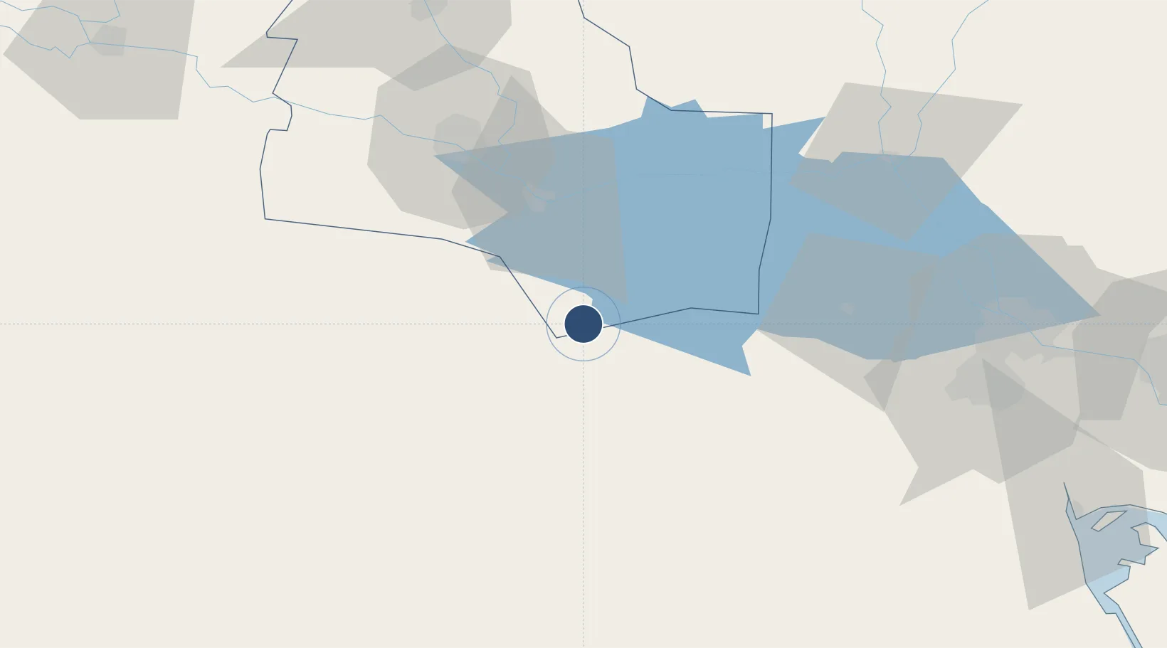
Location
Nearby Logistics Neighbours
Airports
- 1Ali Air Base65 km
- 2Basra International Airport101 km
- 3Qalat Salih Air Base121 km
- 4Abadan Ayatollah Jami International Airport157 km
- 5Ali Al Salem Air Base160 km
Cities
- 1Nasiriyah65 km
- 2Mafraq Ash Shuaybah101 km
- 3Umm Qasr Port139 km
- 4Doha173 km
- 5Dhi Qar175 km
Ports
- 1Al Basrah118 km
- 2Khawr Al Zubair131 km
- 3Umm Qasr142 km
- 4Khorramshahr152 km
- 5Abadan163 km
Trade Zones
- 1Al Abdali Free Economic Zone109 km
- 2Arvand Trade Industrial Free Zone155 km
- 3Al Naim (Al Shegaya) Free Economic Zone171 km
- 4Kuwait Free Trade Zone183 km
- 5Imam Khomeini Port236 km
DatabookThe Record of Consolidated Knowledge
Iraq beyond logistics?