Diversified Zone · Iran

Imam Khomeini Port Active

30.4478°, 49.0609°
11,000 ha
Zone area
2.7 km
Nearest port
14.9 km
Nearest airport

Gateway access

Nearest neighbours — logibook spatial index (haversine) over the source coordinates

Zone profile

Zone type
Diversified Zone
Open Zone Map
Region
Khuzestan
Open Zone Map
Status
Active
Open Zone Map
Management
Public
Open Zone Map
Operator
Ports and Maritime Organization
Open Zone Map
Legal framework
Law on the Administration of Free Trade-Industrial Zones of the Islamic Republic of Iran
Open Zone Map

Location

Location of ozm-2505
Natural Earth 10m (public domain) · Khuzestan · ozm-2505 · 30.45, 49.06GoogleOSMYandex

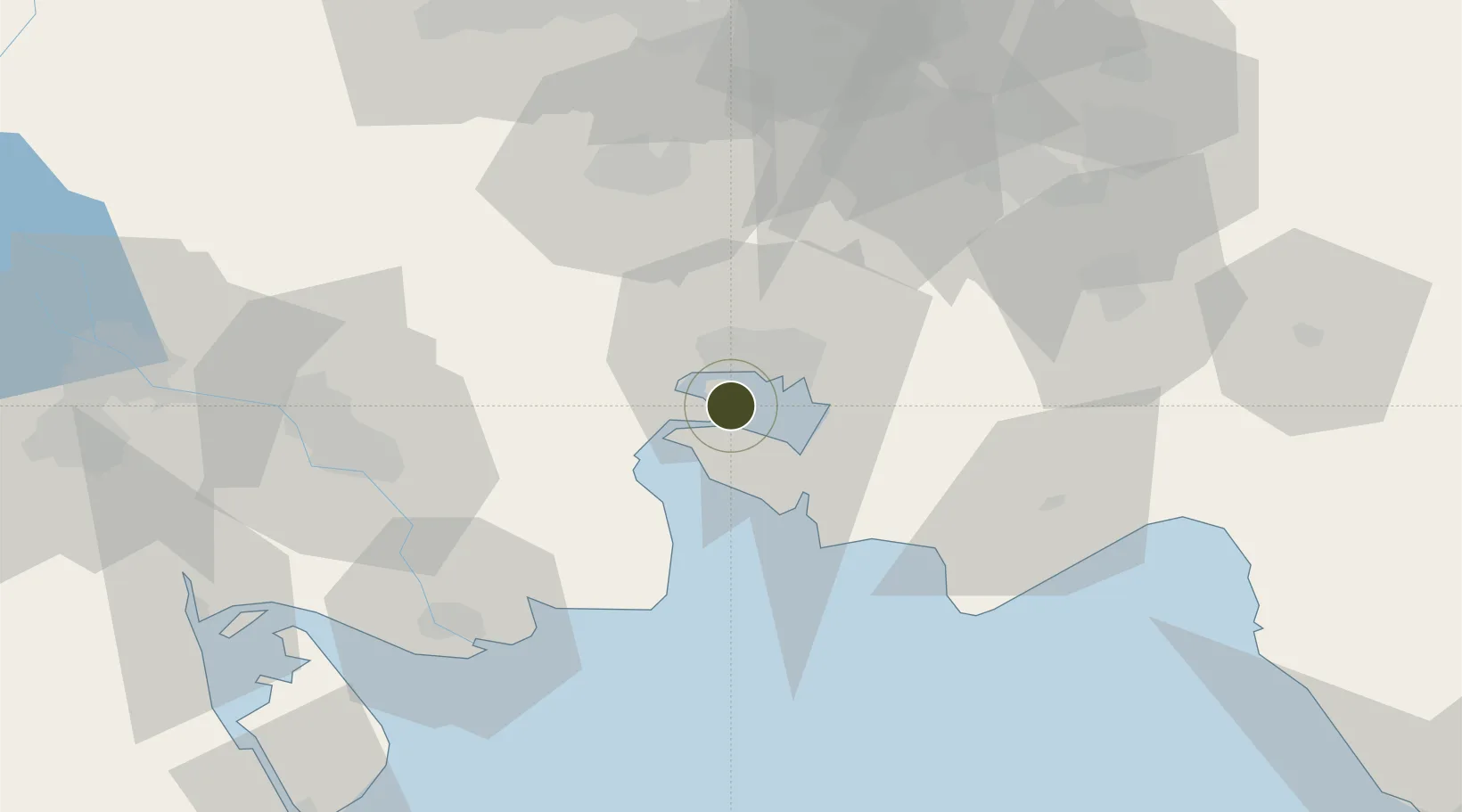
Nearby Logistics Neighbours

Ports
  1. 1Bandar Khomeyni3 km
  2. 2Bandar-E Mahshahr12 km
  3. 3Abadan76 km
  4. 4Khawr Al Amaya78 km
  5. 5Khorramshahr84 km
Nearest neighbours — logibook spatial index (haversine) over the source coordinates
Airports
  1. 1Mahshahr Airport15 km
  2. 2Aghajari Airport68 km
  3. 3Abadan Ayatollah Jami International Airport80 km
  4. 4Qasem Soleimani International Airport103 km
  5. 5Basra International Airport135 km
Nearest neighbours — logibook spatial index (haversine) over the source coordinates
Cities
  1. 1Imam Khomeini Pt/ Mahshahr City4 km
  2. 2Bandar-e Emam Khomeyni4 km
  3. 3Bandar Khomeini4 km
  4. 4Bandar-e Måh Shahr14 km
  5. 5Bandar Mashur16 km
Nearest neighbours — logibook spatial index (haversine) over the source coordinates
Trade Zones
  1. 1Petrochemical Special Economic Zone4 km
  2. 2Arvand Trade Industrial Free Zone82 km
  3. 3Bushehr Northern Special Economic Zone145 km
  4. 4Al Abdali Free Economic Zone156 km
  5. 5Kuwait Free Trade Zone165 km
Nearest neighbours — logibook spatial index (haversine) over the source coordinates
DatabookThe Record of Consolidated Knowledge
Iran beyond logistics?
Browse databook

All Sources

Trade ZonesOpen Zone Map
CC BY
Portsthe NGA World Port Index
Public domain (US gov)
AirportsOurAirports
Public domain
LocationsUN/LOCODE
UN/LOCODE — free
← Iran trade zones