Runway & Layout

Airport Specifications
Airport class
Medium airport
Scheduled service
No
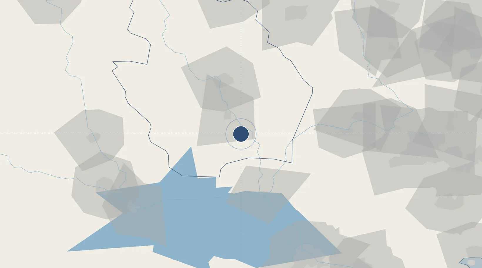
Location
Nearby Logistics Neighbours
Airports
- 1Basra International Airport107 km
- 2Kut Al Hayy East Air Base113 km
- 3Jalibah Southeast Air Base121 km
- 4Ali Air Base128 km
- 5Qasem Soleimani International Airport141 km
Cities
- 1Nasiriyah109 km
- 2Mafraq Ash Shuaybah115 km
- 3Umm Qasr Port168 km
- 4Imam Khomeini Pt/ Mahshahr City205 km
- 5Bandar-e Måh Shahr206 km
Ports
- 1Al Basrah117 km
- 2Khorramshahr142 km
- 3Khawr Al Zubair153 km
- 4Abadan157 km
- 5Umm Qasr172 km
Trade Zones
DatabookThe Record of Consolidated Knowledge
Iraq beyond logistics?