UN/LOCODE hub · Iraq
IQBA4

Mafraq Ash Shuaybah

30.4667°, 47.6500°
2
Transport functions

Transport Functions

Rail
Road
UN/LOCODE

Hub Profile

Region
BA
GeoNames

Location

Location of IQBA4
Natural Earth 10m (public domain) · BA · IQBA4 · 30.47, 47.65GoogleOSMYandex

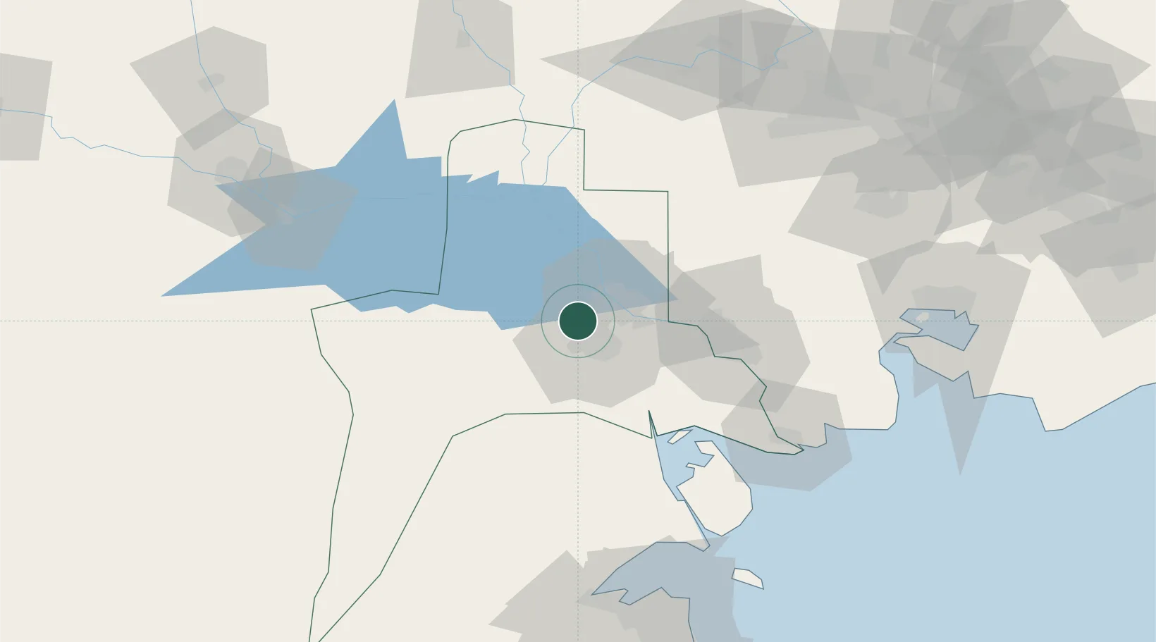
Nearby Logistics Neighbours

Cities
  1. 1Umm Qasr Port54 km
  2. 2Doha121 km
  3. 3Shuwaikh127 km
  4. 4Kaifan130 km
  5. 5Ra's al Ard131 km
Nearest neighbours — logibook spatial index (haversine) over the source coordinates
Ports
  1. 1Al Basrah18 km
  2. 2Khawr Al Zubair40 km
  3. 3Khorramshahr51 km
  4. 4Umm Qasr58 km
  5. 5Abadan63 km
Nearest neighbours — logibook spatial index (haversine) over the source coordinates
Airports
  1. 1Basra International Airport9 km
  2. 2Abadan Ayatollah Jami International Airport57 km
  3. 3Jalibah Southeast Air Base101 km
  4. 4Qalat Salih Air Base115 km
  5. 5Ali Al Salem Air Base126 km
Nearest neighbours — logibook spatial index (haversine) over the source coordinates
Trade Zones
  1. 1Al Abdali Free Economic Zone55 km
  2. 2Arvand Trade Industrial Free Zone55 km
  3. 3Al Naim (Al Shegaya) Free Economic Zone126 km
  4. 4Kuwait Free Trade Zone126 km
  5. 5Imam Khomeini Port135 km
Nearest neighbours — logibook spatial index (haversine) over the source coordinates
DatabookThe Record of Consolidated Knowledge
Iraq beyond logistics?
Browse databook

All Sources

LocationsUN/LOCODE
UN/LOCODE — free
Portsthe NGA World Port Index
Public domain (US gov)
AirportsOurAirports
Public domain
Trade Zonesthe World Bank SEZ database
CC BY 4.0
Trade ZonesOpen Zone Map
CC BY
← Iraq locations