Medium airport · Iraq
Ali Air BaseORTL
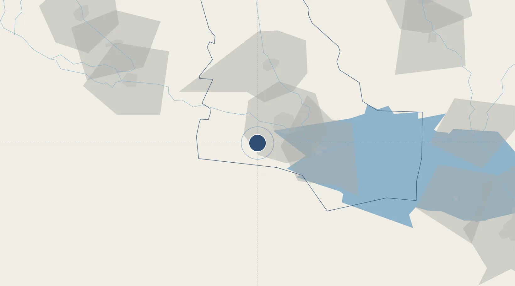
30.9358°, 46.0901°
10,935 ft
Longest runway
2
Runways
20 ft
Elevation
Runway & Layout

Radio Frequencies
TWR
122.125 MHz
GND
118.875 MHz
APP
126.925 MHz
MISC
24.405 MHz
AIR BOSS
PMSV
31.702 MHz
METRO
POST
23.03 MHz
KINGFISH FOXTROT
PTD
25.08 MHz
DISPATCH
Navaids
TAL TACAN Tallil 113.70 MHz
Runways · 2
| Runway | Dimensions | Surface | True heading | Lit |
|---|---|---|---|---|
| 12L/30R | 10,935 × 148ft | Concrete | 118° | — |
| 12R/30L | 9,991 × 148ft | Concrete | 118° | — |
Airport Specifications
IATA code
XNH
ICAO code
ORTL
Airport class
Medium airport
Scheduled service
No
Runway surface
Concrete
Served city
Nasiriyah
Location
Nearby Logistics Neighbours
Airports
- 1Jalibah Southeast Air Base65 km
- 2Qalat Salih Air Base128 km
- 3Kut Al Hayy East Air Base134 km
- 4Basra International Airport156 km
- 5Ubaydah Bin Al Jarrah Airport175 km
Cities
- 1Nasiriyah20 km
- 2Dhi Qar110 km
- 3Mafraq Ash Shuaybah158 km
- 4Wasit181 km
- 5Umm Qasr Port202 km
Ports
- 1Al Basrah173 km
- 2Khawr Al Zubair192 km
- 3Umm Qasr206 km
- 4Khorramshahr208 km
- 5Abadan220 km
Trade Zones
- 1Al Abdali Free Economic Zone174 km
- 2Arvand Trade Industrial Free Zone212 km
- 3Al Naim (Al Shegaya) Free Economic Zone235 km
- 4Kuwait Free Trade Zone248 km
- 5Imam Khomeini Port289 km
DatabookThe Record of Consolidated Knowledge
Iraq beyond logistics?