Transport Functions
Road
Airport
Multimodal
Hub Profile
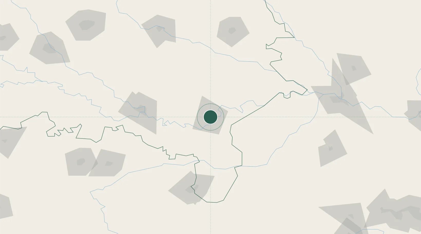
Place type
Populated place
Region
Uttar Pradesh
Population
1,164,404
Time zone
Asia/Kolkata
Elevation
86 m
Location
Nearby Logistics Neighbours
Cities
- 1Bhadohi45 km
- 2Jaunpur55 km
- 3Jahanabad86 km
- 4Thootibari Lcs103 km
- 5Kakarahawa Lcs112 km
Ports
- 1Calcutta624 km
- 2Haldia Port636 km
- 3Dhamra646 km
- 4Paradip678 km
- 5Gopalpur701 km
Airports
- 1Lal Bahadur Shastri International Airport19 km
- 2Prayagraj Airport128 km
- 3Sultanpur Airport140 km
- 4Gorakhpur Airport163 km
- 5Maharshi Valmiki International Airport178 km
Trade Zones
DatabookThe Record of Consolidated Knowledge
India beyond logistics?