Medium airport · India

Maharshi Valmiki International AirportIN-0025
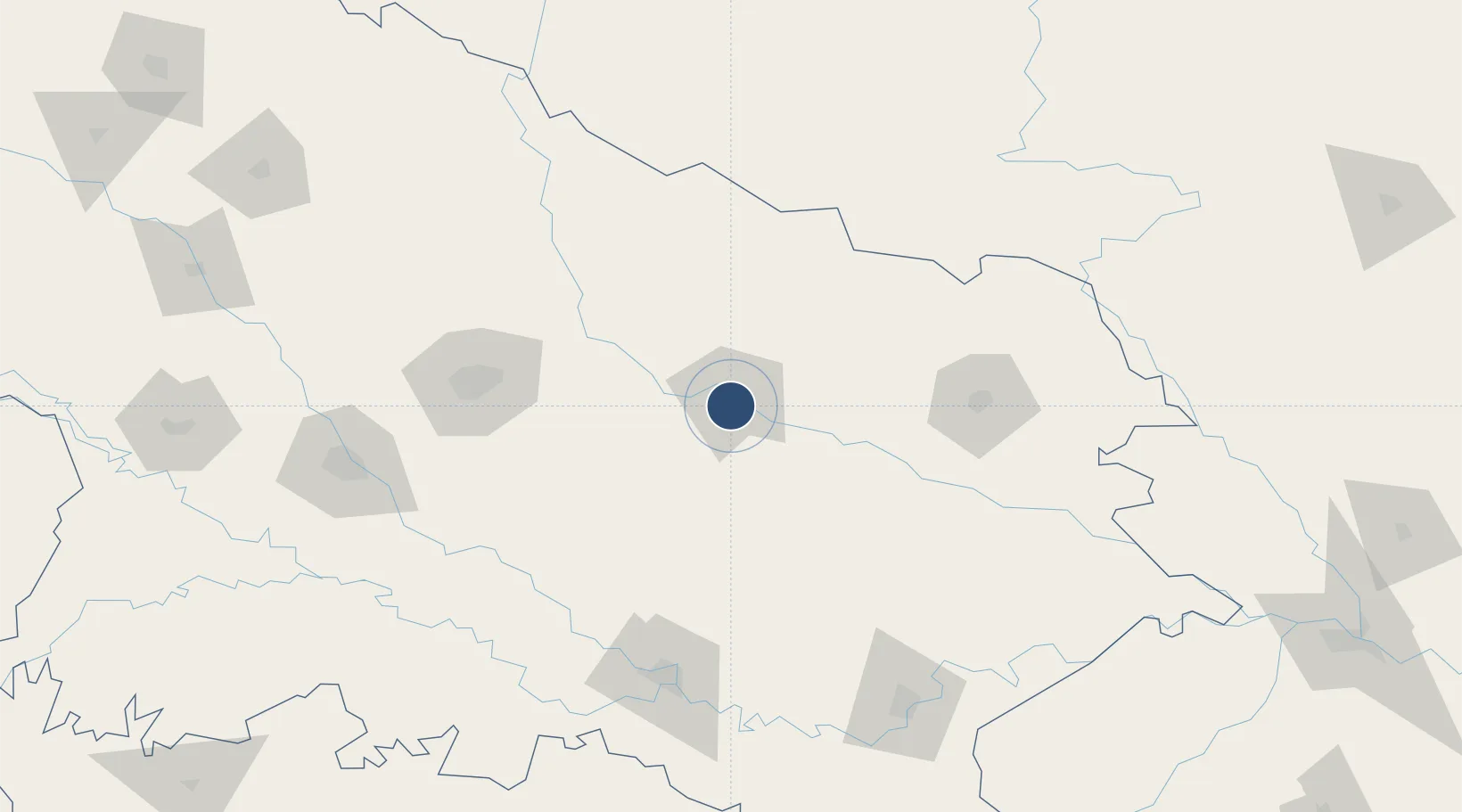
26.7477°, 82.1637°
7,381 ft
Longest runway
1
Runways
335 ft
Elevation

Runway & Layout

Maharshi Valmiki International Airport runway & taxiway layout
Runway & taxiway layout — OpenStreetMap (ODbL) / OurAirports

Radio Frequencies

APPR
120.45 MHz
Lucknow Approach
CTRL
118.85 MHz
Varanasi Control
OurAirports

Runways · 1

RunwayDimensions SurfaceTrue headingLit
11/29 7,381 × 148ft Concrete 114°
OurAirports

Airport Specifications

IATA code
AYJ
OurAirports
ICAO code
VEAY
OurAirports
Airport class
Medium airport
OurAirports
Scheduled service
Yes
OurAirports
Runway surface
Concrete
OurAirports
Served city
Faizabad
OurAirports

Location

Location of IN-0025
Natural Earth 10m (public domain) · Uttar Pradesh · IN-0025 · 26.75, 82.16GoogleOSMYandex

Nearby Logistics Neighbours

Airports
  1. 1Sultanpur Airport57 km
  2. 2Shravasti Airport85 km
  3. 3Chaudhary Charan Singh International Airport127 km
  4. 4Gorakhpur Airport128 km
  5. 5Gautam Buddha International Airport150 km
Nearest neighbours — logibook spatial index (haversine) over the source coordinates
Cities
  1. 1Thootibari Lcs110 km
  2. 2Gorakhpur118 km
  3. 3Jaunpur124 km
  4. 4HCL SEZ/Lucknow126 km
  5. 5Madhosingh/Allahabad148 km
Nearest neighbours — logibook spatial index (haversine) over the source coordinates
Ports
  1. 1Calcutta779 km
  2. 2Haldia Port797 km
  3. 3Dhamra821 km
  4. 4Paradip855 km
  5. 5Gopalpur876 km
Nearest neighbours — logibook spatial index (haversine) over the source coordinates
Trade Zones
  1. 1UP Electronics Corporation Limited121 km
  2. 2Bhairahawa Special Economic Zone153 km
  3. 3Nepalgunj Special Economic Zone175 km
  4. 4Kaspilvastu Special Economic Zone249 km
  5. 5Jumla Special Economic Zone297 km
Nearest neighbours — logibook spatial index (haversine) over the source coordinates
DatabookThe Record of Consolidated Knowledge
India beyond logistics?
Browse databook

All Sources

AirportsOurAirports
Public domain
Portsthe NGA World Port Index
Public domain (US gov)
LocationsUN/LOCODE
UN/LOCODE — free
Trade Zonesthe World Bank SEZ database
CC BY 4.0
Trade ZonesOpen Zone Map
CC BY
InfrastructureOpenStreetMap
ODbL 1.0
← India airports