Diversified Zone · Nepal

Bhairahawa Special Economic Zone Active
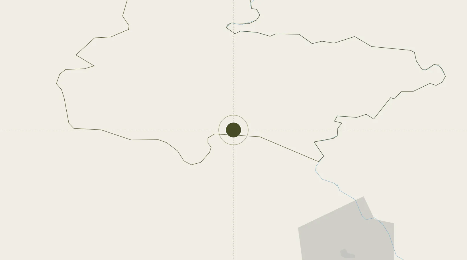
27.4875°, 83.4714°
37 ha
Zone area
735.6 km
Nearest port
5.9 km
Nearest airport

Gateway access

Nearest neighbours — logibook spatial index (haversine) over the source coordinates

Zone profile

Zone type
Diversified Zone
Open Zone Map
Region
Lumbini
Open Zone Map
Status
Active
Open Zone Map
Management
Public
Open Zone Map
Operator
Special Economic Zone Authority, Nepal
Open Zone Map
Legal framework
Special Economic Zone Act, 2073 (2016).
Open Zone Map

Location

Location of ozm-2898
Natural Earth 10m (public domain) · Lumbini · ozm-2898 · 27.49, 83.47GoogleOSMYandex

Nearby Logistics Neighbours

Ports
  1. 1Calcutta736 km
  2. 2Haldia Port766 km
  3. 3Dhamra822 km
  4. 4Mongla832 km
  5. 5Paradip867 km
Nearest neighbours — logibook spatial index (haversine) over the source coordinates
Airports
  1. 1Gautam Buddha International Airport6 km
  2. 2Gorakhpur Airport83 km
  3. 3Kushinagar International Airport89 km
  4. 4Pokhara Domestic Airport94 km
  5. 5Pokhara International Airport94 km
Nearest neighbours — logibook spatial index (haversine) over the source coordinates
Cities
  1. 1Bhairahawa3 km
  2. 2Nawalparasi20 km
  3. 3Triveni43 km
  4. 4Sikta Lcs79 km
  5. 5Gorakhpur83 km
Nearest neighbours — logibook spatial index (haversine) over the source coordinates
Trade Zones
  1. 1Kaspilvastu Special Economic Zone102 km
  2. 2Nuwakot Special Economic Zone159 km
  3. 3Rautahat Special Economic Zone195 km
  4. 4Nepalgunj Special Economic Zone197 km
  5. 5Simara Special Economic Zone211 km
Nearest neighbours — logibook spatial index (haversine) over the source coordinates
DatabookThe Record of Consolidated Knowledge
Nepal beyond logistics?
Browse databook

All Sources

Trade ZonesOpen Zone Map
CC BY
Portsthe NGA World Port Index
Public domain (US gov)
AirportsOurAirports
Public domain
LocationsUN/LOCODE
UN/LOCODE — free
← Nepal trade zones