Medium airport · India

Gorakhpur AirportVEGK
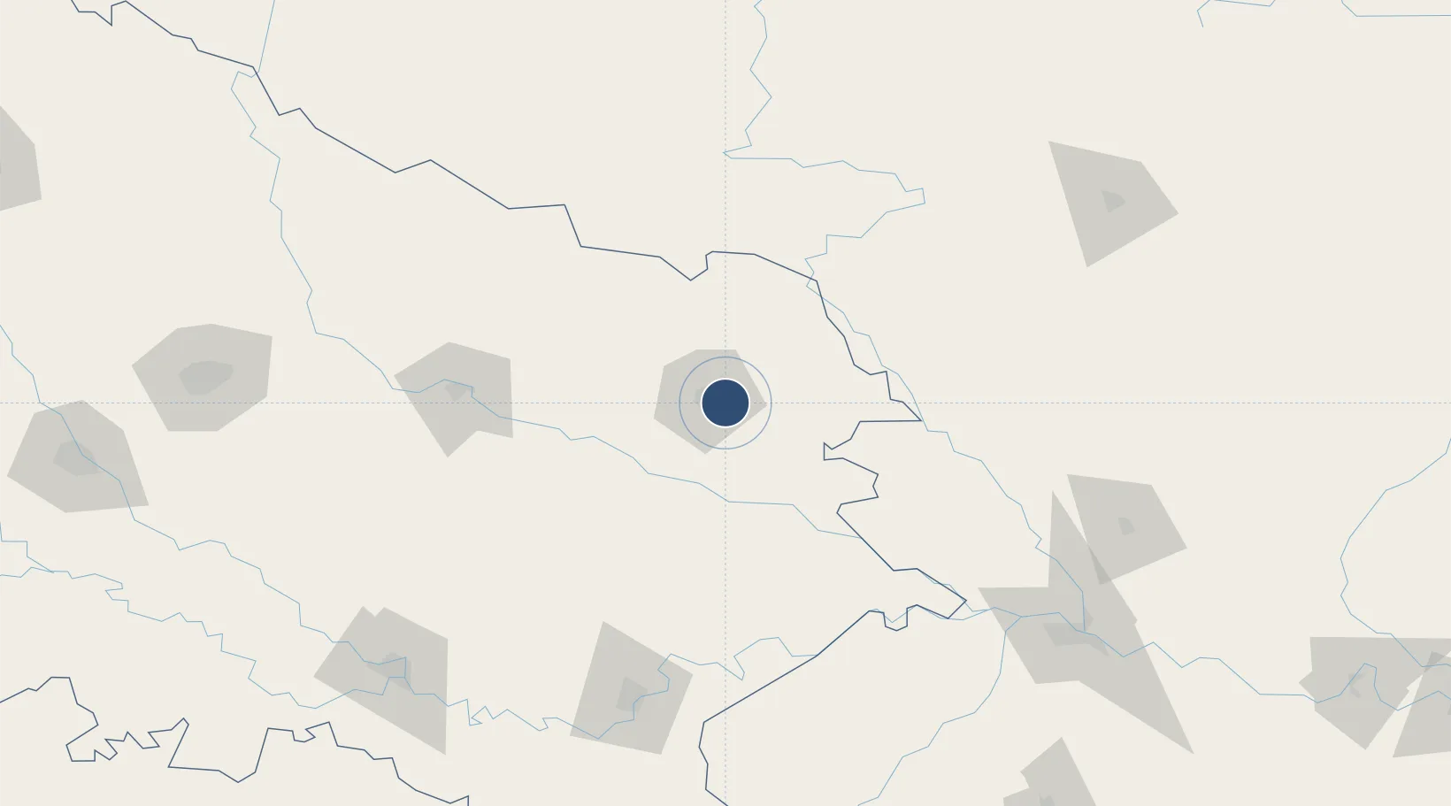
26.7397°, 83.4497°
9,000 ft
Longest runway
1
Runways
259 ft
Elevation

Runway & Layout

Gorakhpur Airport runway & taxiway layout
Runway & taxiway layout — OpenStreetMap (ODbL) / OurAirports

Radio Frequencies

TWR
118.5 MHz
APP
122.7 MHz
OurAirports

Navaids

GH NDB Gorakhpur 278 kHz
OurAirports

Runways · 1

RunwayDimensions SurfaceTrue headingLit
11/29 9,000 × 150ft Asphalt / concrete 113°
OurAirports

Airport Specifications

IATA code
GOP
OurAirports
ICAO code
VEGK
OurAirports
Airport class
Medium airport
OurAirports
Scheduled service
Yes
OurAirports
Runway surface
Asphalt / concrete
OurAirports
Served city
Gorakhpur
OurAirports

Location

Location of VEGK
Natural Earth 10m (public domain) · Uttar Pradesh · VEGK · 26.74, 83.45GoogleOSMYandex

Nearby Logistics Neighbours

Airports
  1. 1Kushinagar International Airport44 km
  2. 2Gautam Buddha International Airport85 km
  3. 3Maharshi Valmiki International Airport128 km
  4. 4Bharatpur Airport142 km
  5. 5Sultanpur Airport150 km
Nearest neighbours — logibook spatial index (haversine) over the source coordinates
Cities
  1. 1Gorakhpur10 km
  2. 2Thootibari Lcs64 km
  3. 3Sikta Lcs73 km
  4. 4Bhairahawa85 km
  5. 5Triveni91 km
Nearest neighbours — logibook spatial index (haversine) over the source coordinates
Ports
  1. 1Calcutta679 km
  2. 2Haldia Port704 km
  3. 3Dhamra749 km
  4. 4Mongla782 km
  5. 5Paradip792 km
Nearest neighbours — logibook spatial index (haversine) over the source coordinates
Trade Zones
  1. 1Bhairahawa Special Economic Zone83 km
  2. 2Kaspilvastu Special Economic Zone140 km
  3. 3Rautahat Special Economic Zone183 km
  4. 4Nuwakot Special Economic Zone199 km
  5. 5Simara Special Economic Zone201 km
Nearest neighbours — logibook spatial index (haversine) over the source coordinates
DatabookThe Record of Consolidated Knowledge
India beyond logistics?
Browse databook

All Sources

AirportsOurAirports
Public domain
Portsthe NGA World Port Index
Public domain (US gov)
LocationsUN/LOCODE
UN/LOCODE — free
Trade Zonesthe World Bank SEZ database
CC BY 4.0
Trade ZonesOpen Zone Map
CC BY
InfrastructureOpenStreetMap
ODbL 1.0
← India airports