Specialized Zone · Nepal

Kaspilvastu Special Economic Zone Under Development
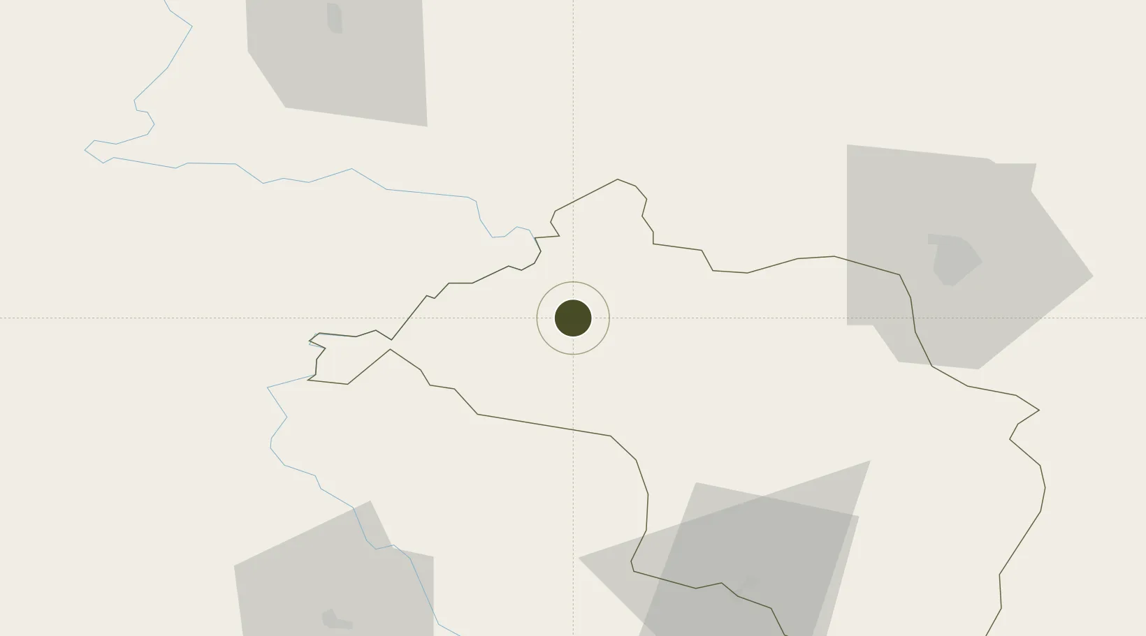
27.5843°, 84.4958°
64 ha
Zone area
680.1 km
Nearest port
12.3 km
Nearest airport

Gateway access

Nearest neighbours — logibook spatial index (haversine) over the source coordinates

Zone profile

Zone type
Specialized Zone
Open Zone Map
Specialization
Agriculture
Open Zone Map
Region
Narayani
Open Zone Map
Status
Under Development
Open Zone Map
Management
Public
Open Zone Map
Operator
Special Economic Zone Authority, Nepal
Open Zone Map
Legal framework
Special Economic Zone Act, 2073 (2016).
Open Zone Map

Location

Location of ozm-2910
Natural Earth 10m (public domain) · Narayani · ozm-2910 · 27.58, 84.50GoogleOSMYandex

Nearby Logistics Neighbours

Ports
  1. 1Calcutta680 km
  2. 2Haldia Port717 km
  3. 3Mongla767 km
  4. 4Dhamra793 km
  5. 5Paradip843 km
Nearest neighbours — logibook spatial index (haversine) over the source coordinates
Airports
  1. 1Bharatpur Airport12 km
  2. 2Simara Airport67 km
  3. 3Pokhara International Airport82 km
  4. 4Pokhara Domestic Airport85 km
  5. 5Tribhuvan International Airport86 km
Nearest neighbours — logibook spatial index (haversine) over the source coordinates
Cities
  1. 1Triveni61 km
  2. 2Sikta Lcs71 km
  3. 3Birgunj ICD73 km
  4. 4Nawalparasi82 km
  5. 5Bhairahawa104 km
Nearest neighbours — logibook spatial index (haversine) over the source coordinates
Trade Zones
  1. 1Nuwakot Special Economic Zone61 km
  2. 2Bhairahawa Special Economic Zone102 km
  3. 3Panchkhal Special Economic Zone114 km
  4. 4Rautahat Special Economic Zone117 km
  5. 5Simara Special Economic Zone129 km
Nearest neighbours — logibook spatial index (haversine) over the source coordinates
DatabookThe Record of Consolidated Knowledge
Nepal beyond logistics?
Browse databook

All Sources

Trade ZonesOpen Zone Map
CC BY
Portsthe NGA World Port Index
Public domain (US gov)
AirportsOurAirports
Public domain
LocationsUN/LOCODE
UN/LOCODE — free
← Nepal trade zones