Medium airport · India

Prayagraj AirportVIAL
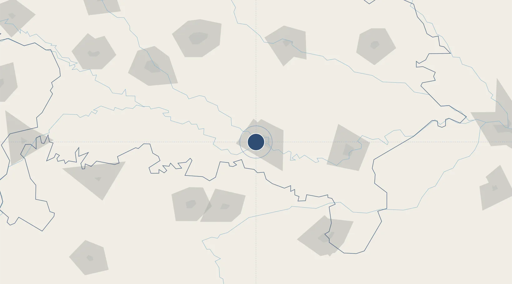
25.4401°, 81.7339°
8,110 ft
Longest runway
2
Runways
322 ft
Elevation

Runway & Layout

Prayagraj Airport runway & taxiway layout
Runway & taxiway layout — OpenStreetMap (ODbL) / OurAirports

Radio Frequencies

TWR
122.7 MHz
OurAirports

Runways · 2

RunwayDimensions SurfaceTrue headingLit
12/30 8,110 × 150ft Asphalt 119°
06/24 4,800 × 150ft Concrete 064°
OurAirports

Airport Specifications

IATA code
IXD
OurAirports
ICAO code
VEAB
OurAirports
Airport class
Medium airport
OurAirports
Scheduled service
Yes
OurAirports
Runway surface
Asphalt
OurAirports
Served city
Allahabad
OurAirports

Location

Location of VIAL
Natural Earth 10m (public domain) · Uttar Pradesh · VIAL · 25.44, 81.73GoogleOSMYandex

Nearby Logistics Neighbours

Airports
  1. 1Sultanpur Airport95 km
  2. 2Lal Bahadur Shastri International Airport113 km
  3. 3Rewa Airport, Chorhata, REWA116 km
  4. 4Maharshi Valmiki International Airport152 km
  5. 5Chaudhary Charan Singh International Airport169 km
Nearest neighbours — logibook spatial index (haversine) over the source coordinates
Cities
  1. 1Madhosingh/Allahabad12 km
  2. 2Kakarahawa Lcs16 km
  3. 3Bhadohi84 km
  4. 4Jaunpur101 km
  5. 5Varanasi128 km
Nearest neighbours — logibook spatial index (haversine) over the source coordinates
Ports
  1. 1Dhamra742 km
  2. 2Calcutta743 km
  3. 3Haldia Port750 km
  4. 4Gopalpur759 km
  5. 5Paradip767 km
Nearest neighbours — logibook spatial index (haversine) over the source coordinates
Trade Zones
  1. 1UP Electronics Corporation Limited175 km
  2. 2Bhairahawa Special Economic Zone286 km
  3. 3Nepalgunj Special Economic Zone313 km
  4. 4Kaspilvastu Special Economic Zone364 km
  5. 5Rautahat Special Economic Zone386 km
Nearest neighbours — logibook spatial index (haversine) over the source coordinates
DatabookThe Record of Consolidated Knowledge
India beyond logistics?
Browse databook

All Sources

AirportsOurAirports
Public domain
Portsthe NGA World Port Index
Public domain (US gov)
LocationsUN/LOCODE
UN/LOCODE — free
Trade Zonesthe World Bank SEZ database
CC BY 4.0
Trade ZonesOpen Zone Map
CC BY
InfrastructureOpenStreetMap
ODbL 1.0
← India airports