UN/LOCODE hub · India
INKWH

Kakarahawa Lcs

25.4000°, 81.8833°
1
Transport functions

Transport Functions

Multimodal
UN/LOCODE

Hub Profile

Region
UP
GeoNames

Location

Location of INKWH
Natural Earth 10m (public domain) · UP · INKWH · 25.40, 81.88GoogleOSMYandex

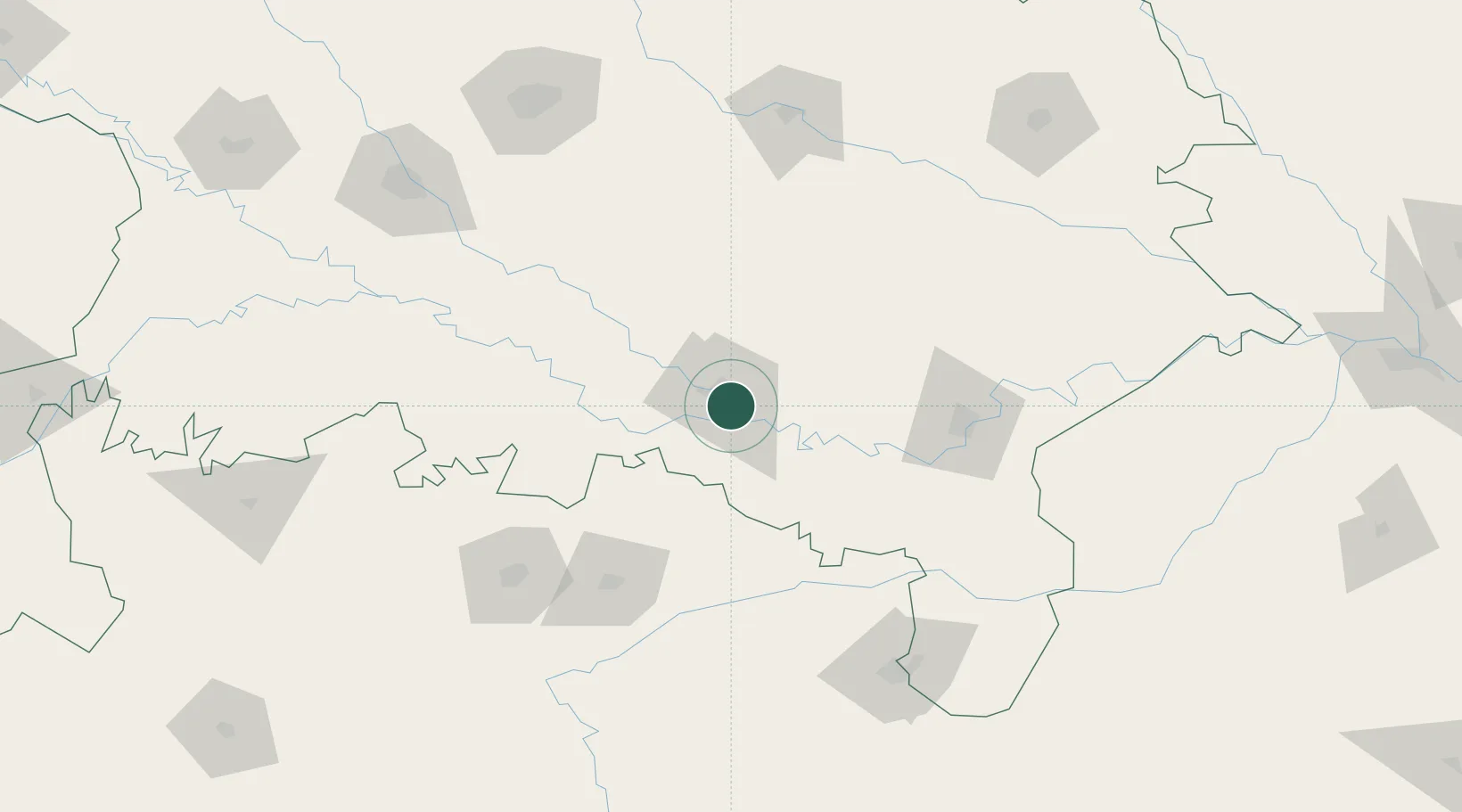
Nearby Logistics Neighbours

Cities
  1. 1Madhosingh/Allahabad7 km
  2. 2Bhadohi69 km
  3. 3Jaunpur88 km
  4. 4Varanasi112 km
  5. 5Thootibari Lcs156 km
Nearest neighbours — logibook spatial index (haversine) over the source coordinates
Ports
  1. 1Calcutta728 km
  2. 2Dhamra728 km
  3. 3Haldia Port735 km
  4. 4Gopalpur749 km
  5. 5Paradip753 km
Nearest neighbours — logibook spatial index (haversine) over the source coordinates
Airports
  1. 1Prayagraj Airport16 km
  2. 2Sultanpur Airport96 km
  3. 3Lal Bahadur Shastri International Airport99 km
  4. 4Rewa Airport, Chorhata, REWA120 km
  5. 5Maharshi Valmiki International Airport153 km
Nearest neighbours — logibook spatial index (haversine) over the source coordinates
Trade Zones
  1. 1UP Electronics Corporation Limited186 km
  2. 2Bhairahawa Special Economic Zone281 km
  3. 3Nepalgunj Special Economic Zone318 km
  4. 4Kaspilvastu Special Economic Zone356 km
  5. 5Rautahat Special Economic Zone374 km
Nearest neighbours — logibook spatial index (haversine) over the source coordinates
DatabookThe Record of Consolidated Knowledge
India beyond logistics?
Browse databook

All Sources

LocationsUN/LOCODE
UN/LOCODE — free
Portsthe NGA World Port Index
Public domain (US gov)
AirportsOurAirports
Public domain
Trade Zonesthe World Bank SEZ database
CC BY 4.0
Trade ZonesOpen Zone Map
CC BY
← India locations