Transport Functions
Port
Rail
Multimodal
Hub Profile
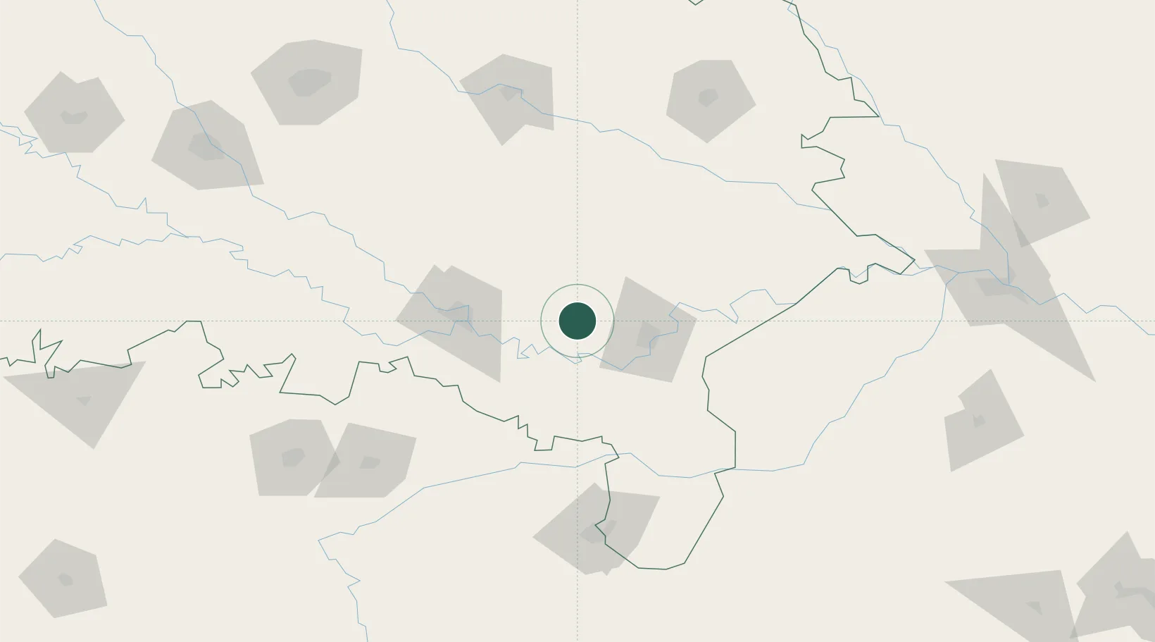
Place type
Populated place
Region
Uttar Pradesh
Population
78,568
Time zone
Asia/Kolkata
Elevation
94 m
Location
Nearby Logistics Neighbours
Cities
- 1Jaunpur37 km
- 2Varanasi45 km
- 3Kakarahawa Lcs69 km
- 4Madhosingh/Allahabad72 km
- 5Thootibari Lcs108 km
Ports
- 1Calcutta667 km
- 2Haldia Port677 km
- 3Dhamra681 km
- 4Paradip711 km
- 5Gopalpur723 km
Airports
Trade Zones
DatabookThe Record of Consolidated Knowledge
India beyond logistics?