Export Processing Zone · India

UP Electronics Corporation Limited Active
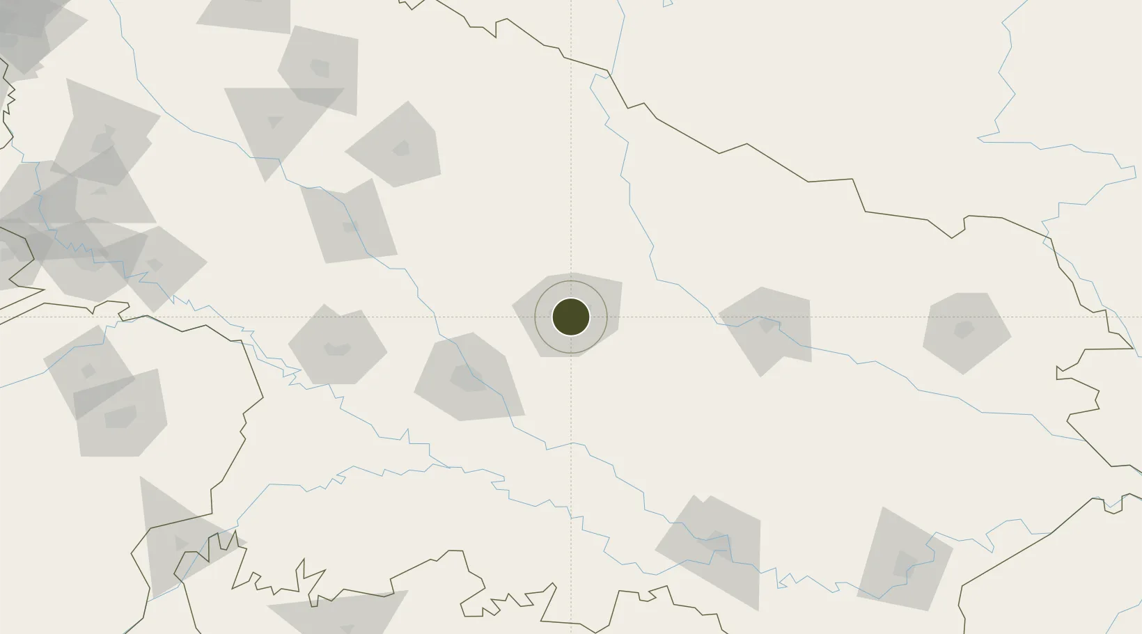
26.8489°, 80.9481°
40 ha
Zone area
885.8 km
Nearest port
11.4 km
Nearest airport

Gateway access

Nearest neighbours — logibook spatial index (haversine) over the source coordinates

Zone profile

Zone type
Export Processing Zone
Open Zone Map
Region
Uttar Pradesh
Open Zone Map
Status
Active
Open Zone Map
Management
Public
Open Zone Map
Operator
UP Electronics Corporation Limited
Open Zone Map
Legal framework
Uttar Pradesh Special Economic Zone Development Act, 2002
Open Zone Map

Location

Location of ozm-2142
Natural Earth 10m (public domain) · Uttar Pradesh · ozm-2142 · 26.85, 80.95GoogleOSMYandex

Nearby Logistics Neighbours

Ports
  1. 1Calcutta886 km
  2. 2Haldia Port900 km
  3. 3Dhamra908 km
  4. 4Gopalpur934 km
  5. 5Paradip936 km
Nearest neighbours — logibook spatial index (haversine) over the source coordinates
Airports
  1. 1Chaudhary Charan Singh International Airport11 km
  2. 2Kanpur Airport73 km
  3. 3Maharshi Valmiki International Airport121 km
  4. 4Sultanpur Airport128 km
  5. 5Shravasti Airport129 km
Nearest neighbours — logibook spatial index (haversine) over the source coordinates
Cities
  1. 1HCL SEZ/Lucknow5 km
  2. 2Kanpur78 km
  3. 3Klppl-ICD/Panki84 km
  4. 4Madhosingh/Allahabad180 km
  5. 5Kakarahawa Lcs186 km
Nearest neighbours — logibook spatial index (haversine) over the source coordinates
Trade Zones
  1. 1Nepalgunj Special Economic Zone171 km
  2. 2Bhairahawa Special Economic Zone260 km
  3. 3Jumla Special Economic Zone302 km
  4. 4Moradabad Special Economic Zone308 km
  5. 5Kaspilvastu Special Economic Zone360 km
Nearest neighbours — logibook spatial index (haversine) over the source coordinates
DatabookThe Record of Consolidated Knowledge
India beyond logistics?
Browse databook

All Sources

Trade ZonesOpen Zone Map
CC BY
Portsthe NGA World Port Index
Public domain (US gov)
AirportsOurAirports
Public domain
LocationsUN/LOCODE
UN/LOCODE — free
← India trade zones