Transport Functions
Multimodal
Hub Profile
Place type
Populated place
Region
Uttar Pradesh
Population
169,572
Time zone
Asia/Kolkata
Elevation
85 m
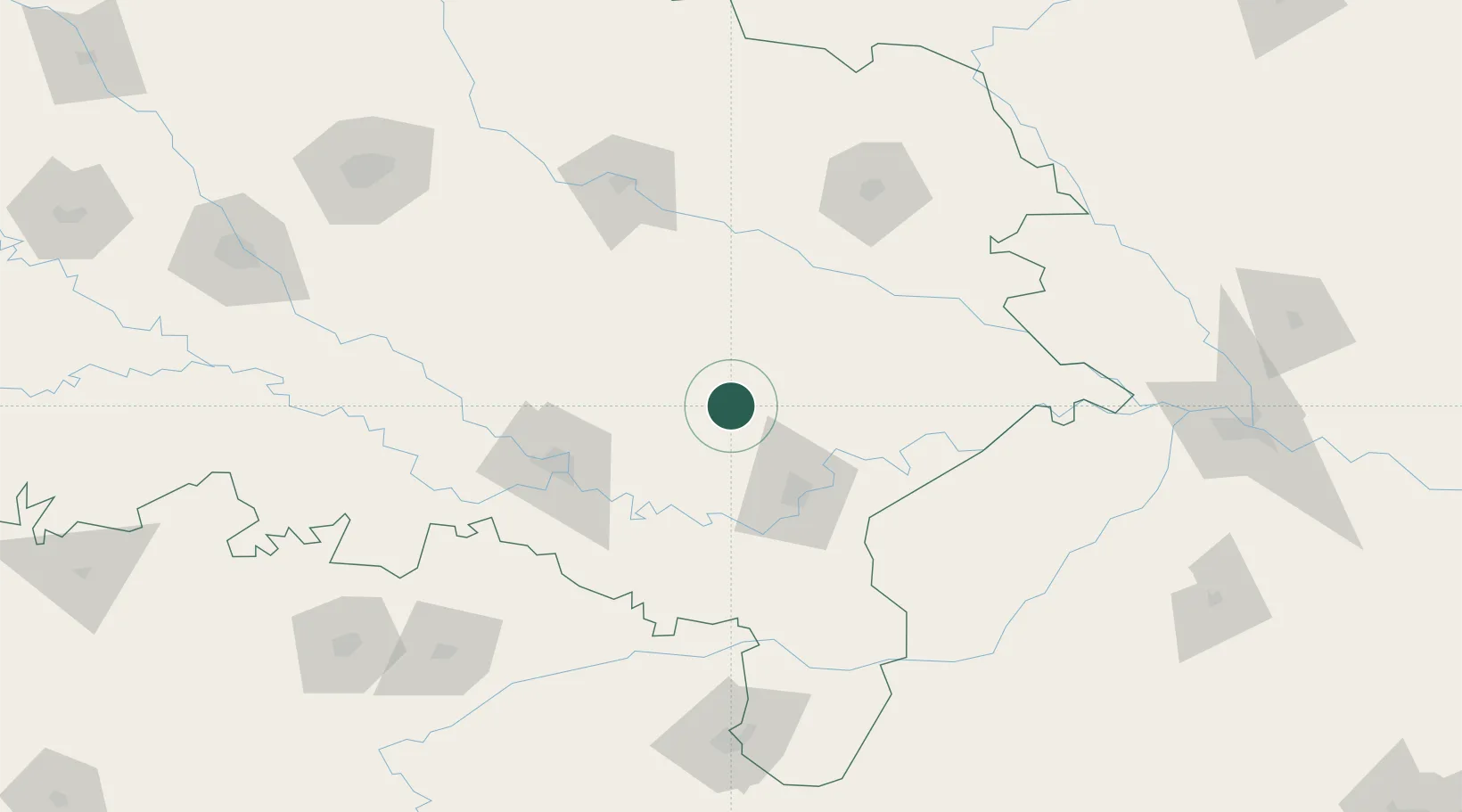
Location
Nearby Logistics Neighbours
Cities
- 1Bhadohi37 km
- 2Varanasi55 km
- 3Thootibari Lcs72 km
- 4Kakarahawa Lcs88 km
- 5Madhosingh/Allahabad89 km
Ports
- 1Calcutta674 km
- 2Haldia Port687 km
- 3Dhamra700 km
- 4Paradip733 km
- 5Gopalpur753 km
Airports
- 1Lal Bahadur Shastri International Airport36 km
- 2Sultanpur Airport86 km
- 3Prayagraj Airport101 km
- 4Maharshi Valmiki International Airport124 km
- 5Gorakhpur Airport136 km
Trade Zones
DatabookThe Record of Consolidated Knowledge
India beyond logistics?