Large airport · India

Lal Bahadur Shastri International AirportVEBN
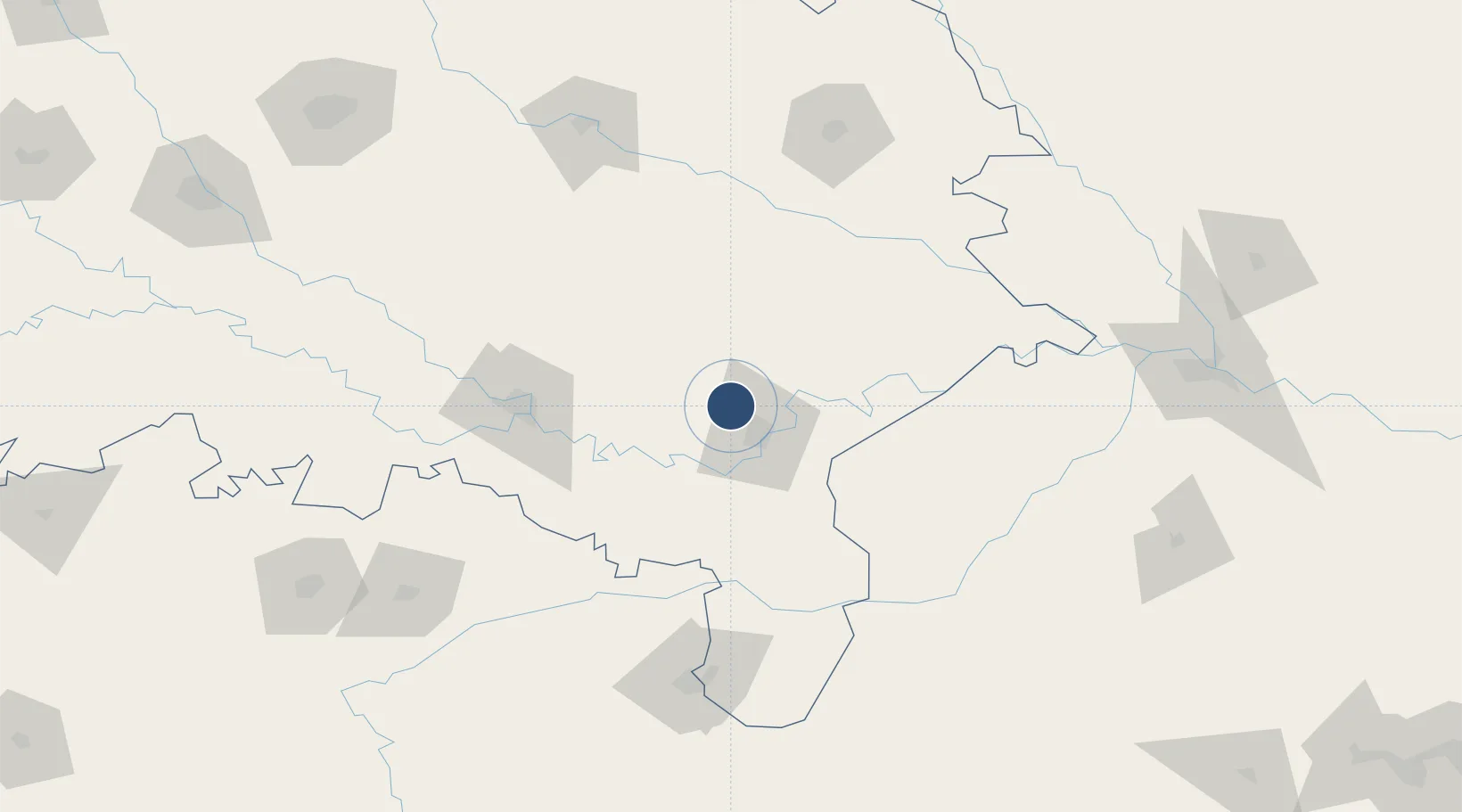
25.4522°, 82.8625°
9,006 ft
Longest runway
1
Runways
266 ft
Elevation

Runway & Layout

Lal Bahadur Shastri International Airport runway & taxiway layout
Runway & taxiway layout — OpenStreetMap (ODbL) / OurAirports

Radio Frequencies

TWR
118.1 MHz
APP
119 MHz
VIBN APP
ACC"N" & ACC"S"
132.4 MHz
120.750 MHz
OurAirports

Navaids

BBN VOR-DME Varanasi 113.90 MHz
BN NDB Varanasi 222 kHz
OurAirports

Runways · 1

RunwayDimensions SurfaceTrue headingLit
09/27 9,006 × 148ft Asphalt 093°
OurAirports

Airport Specifications

IATA code
VNS
OurAirports
ICAO code
VEBN
OurAirports
Airport class
Large airport
OurAirports
Scheduled service
Yes
OurAirports
Runway surface
Asphalt
OurAirports
Served city
Varanasi
OurAirports

Location

Location of VEBN
Natural Earth 10m (public domain) · Uttar Pradesh · VEBN · 25.45, 82.86GoogleOSMYandex

Nearby Logistics Neighbours

Airports
  1. 1Prayagraj Airport113 km
  2. 2Sultanpur Airport121 km
  3. 3Gorakhpur Airport155 km
  4. 4Maharshi Valmiki International Airport160 km
  5. 5Kushinagar International Airport179 km
Nearest neighbours — logibook spatial index (haversine) over the source coordinates
Cities
  1. 1Varanasi19 km
  2. 2Bhadohi30 km
  3. 3Jaunpur36 km
  4. 4Thootibari Lcs92 km
  5. 5Kakarahawa Lcs99 km
Nearest neighbours — logibook spatial index (haversine) over the source coordinates
Ports
  1. 1Calcutta643 km
  2. 2Haldia Port654 km
  3. 3Dhamra665 km
  4. 4Paradip697 km
  5. 5Gopalpur717 km
Nearest neighbours — logibook spatial index (haversine) over the source coordinates
Trade Zones
  1. 1Bhairahawa Special Economic Zone234 km
  2. 2UP Electronics Corporation Limited246 km
  3. 3Rautahat Special Economic Zone285 km
  4. 4Kaspilvastu Special Economic Zone287 km
  5. 5Simara Special Economic Zone301 km
Nearest neighbours — logibook spatial index (haversine) over the source coordinates
DatabookThe Record of Consolidated Knowledge
India beyond logistics?
Browse databook

All Sources

AirportsOurAirports
Public domain
Portsthe NGA World Port Index
Public domain (US gov)
LocationsUN/LOCODE
UN/LOCODE — free
Trade Zonesthe World Bank SEZ database
CC BY 4.0
Trade ZonesOpen Zone Map
CC BY
InfrastructureOpenStreetMap
ODbL 1.0
← India airports