About
Methodology
Sources
Licensing
English
EN
English
TR
Türkçe
DE
Deutsch
FR
Français
ES
Español
IT
Italiano
PT
Português
NL
Nederlands
PL
Polski
RU
Русский
UK
Українська
CS
Čeština
RO
Română
EL
Ελληνικά
BG
Български
AR
العربية
FA
فارسی
UR
اردو
HI
हिन्दी
BN
বাংলা
ID
Bahasa Indonesia
VI
Tiếng Việt
ZH
中文
JA
日本語
KO
한국어
logibook
/
Countries
/
India
/
Locations
/
Thootibari Lcs
UN/LOCODE hub ·
India
IN
NTV
Thootibari Lcs
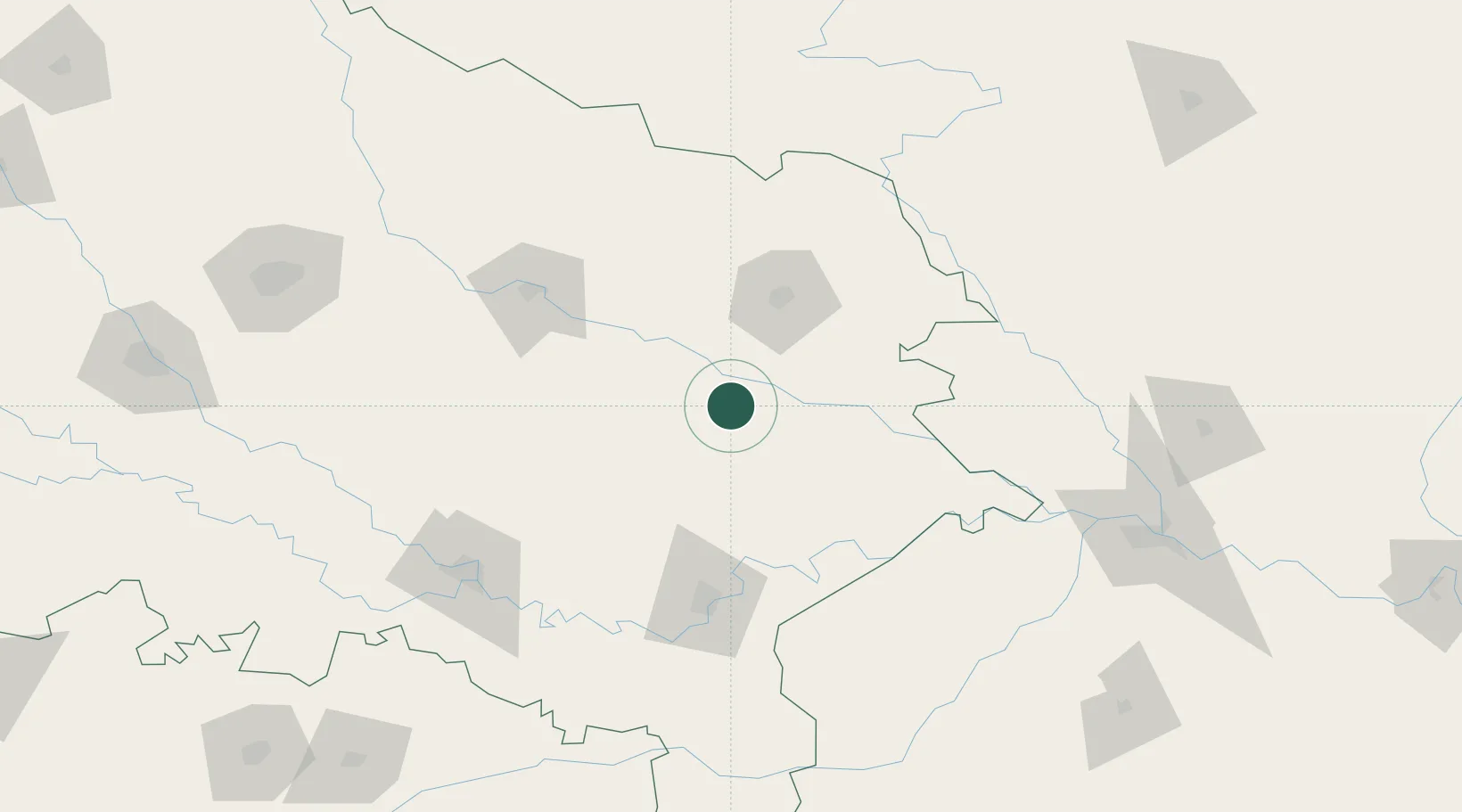
26.2500°, 83.1167°
1
Transport functions
Transport Functions
Multimodal
UN/LOCODE
Hub Profile
Region
UP
GeoNames
Location
Natural Earth 10m (public domain) · UP · INNTV · 26.25, 83.12
Google ↗
OSM ↗
Yandex ↗
Nearby Logistics Neighbours
Cities
1
Gorakhpur
60 km
2
Jaunpur
72 km
3
Varanasi
103 km
4
Bhadohi
108 km
5
Sikta Lcs
132 km
Nearest neighbours — logibook spatial index (haversine) over the source coordinates
Ports
1
Calcutta
669 km
2
Haldia Port
690 km
3
Dhamra
720 km
4
Paradip
758 km
5
Mongla
780 km
Nearest neighbours — logibook spatial index (haversine) over the source coordinates
Airports
1
Gorakhpur Airport
64 km
2
Lal Bahadur Shastri International Airport
92 km
3
Kushinagar International Airport
97 km
4
Sultanpur Airport
107 km
5
Maharshi Valmiki International Airport
110 km
Nearest neighbours — logibook spatial index (haversine) over the source coordinates
Trade Zones
1
Bhairahawa Special Economic Zone
142 km
2
Kaspilvastu Special Economic Zone
202 km
3
Rautahat Special Economic Zone
225 km
4
UP Electronics Corporation Limited
226 km
5
Simara Special Economic Zone
242 km
Nearest neighbours — logibook spatial index (haversine) over the source coordinates
Data
book
The Record of Consolidated Knowledge
India beyond logistics?
Browse databook
→
All Sources
Locations
UN/LOCODE
UN/LOCODE — free
↗
Ports
the NGA World Port Index
Public domain (US gov)
↗
Airports
OurAirports
Public domain
↗
Trade Zones
the World Bank SEZ database
CC BY 4.0
↗
Trade Zones
Open Zone Map
CC BY
↗
← India locations