Transport Functions
Rail
Road
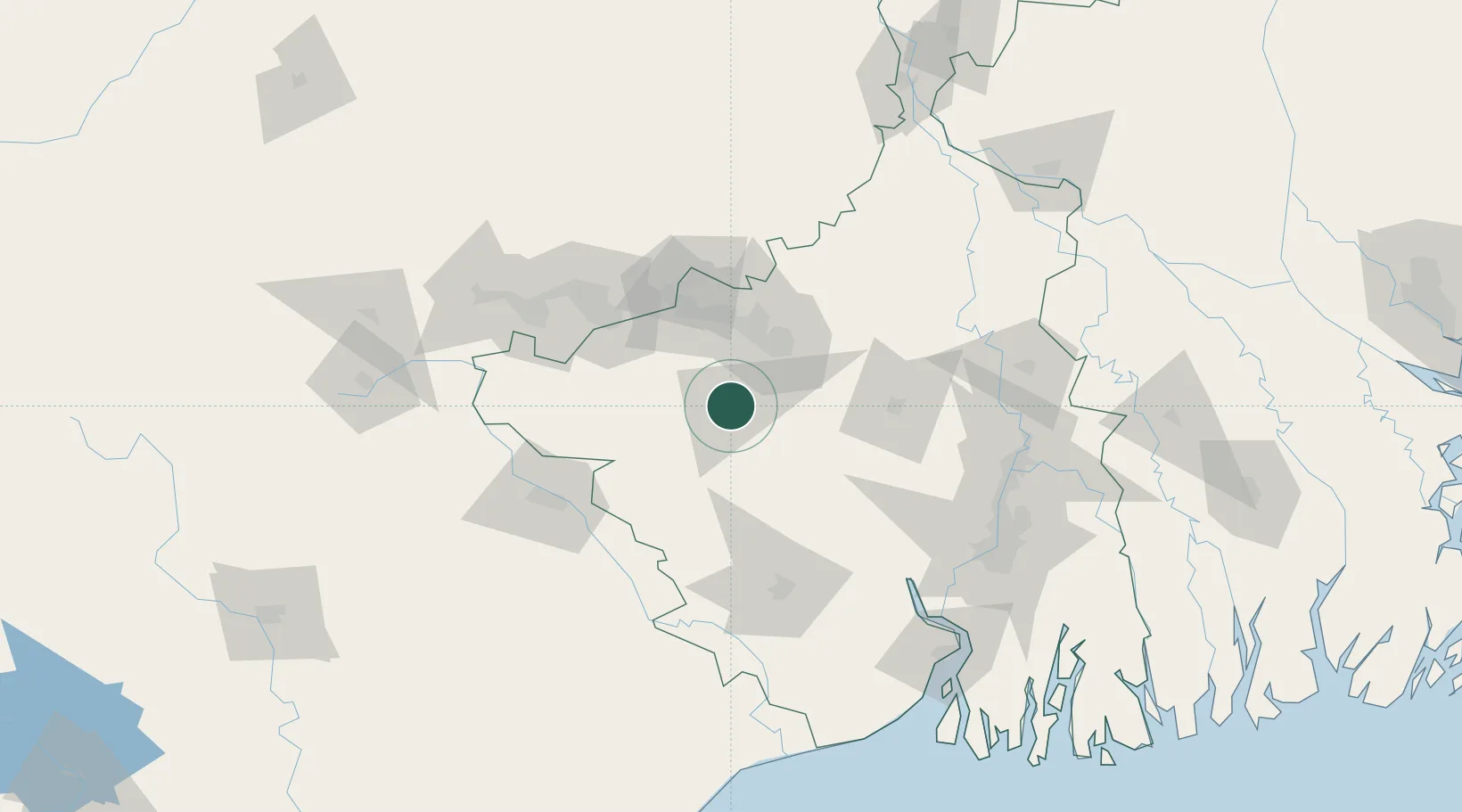
Hub Profile
Place type
Populated place
Region
West Bengal
Population
133,966
Time zone
Asia/Kolkata
Elevation
94 m
Location
Nearby Logistics Neighbours
Cities
- 1Durgapur40 km
- 2Bardhaman82 km
- 3Jamshedpur103 km
- 4Kharagpur106 km
- 5Chirkunda112 km
Ports
- 1Calcutta151 km
- 2Haldia Port172 km
- 3Dhamra271 km
- 4Mongla274 km
- 5Paradip334 km
Airports
- 1Panagarh Air Force Station45 km
- 2Kazi Nazrul Islam Airport45 km
- 3Dhanbad Airport92 km
- 4Sonari Airport104 km
- 5Deoghar Airport138 km
Trade Zones
DatabookThe Record of Consolidated Knowledge
India beyond logistics?