Export Processing Zone · India

M.L. Dalmiya & Co Ltd. Active
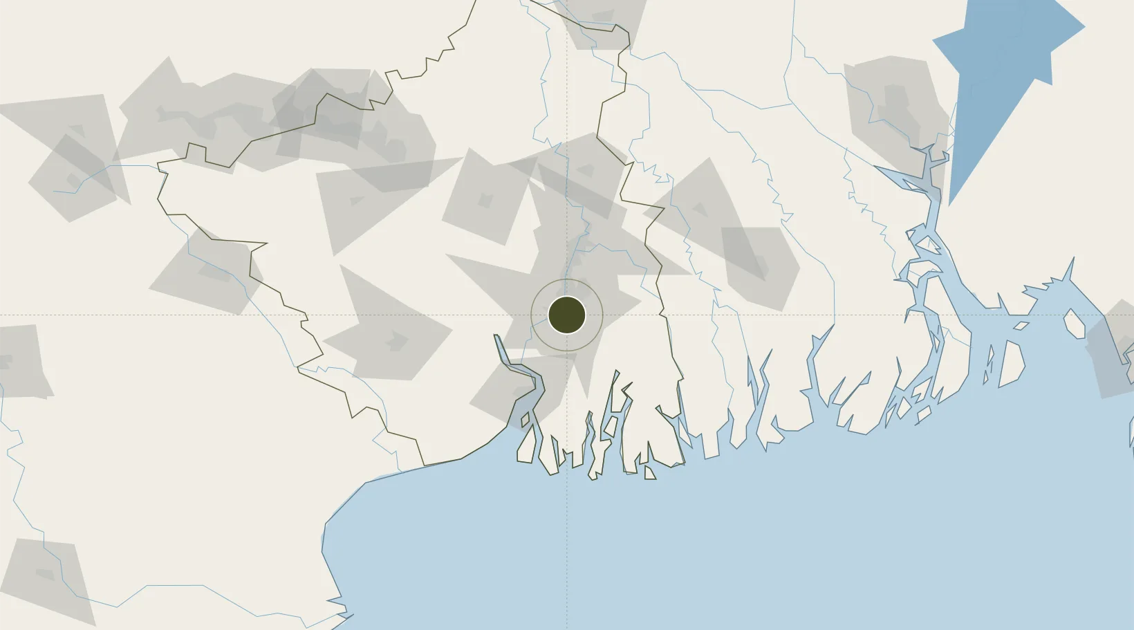
22.5442°, 88.3576°
49 ha
Zone area
2.6 km
Nearest port
15.3 km
Nearest airport

Gateway access

Nearest neighbours — logibook spatial index (haversine) over the source coordinates

Zone profile

Zone type
Export Processing Zone
Open Zone Map
Region
West Bengal
Open Zone Map
Status
Active
Open Zone Map
Management
Private
Open Zone Map
Operator
M.L. Dalmiya & Co Ltd.
Open Zone Map
Legal framework
West Bengal Special Economic Zones Act 2003
Open Zone Map

Location

Location of ozm-2144
Natural Earth 10m (public domain) · West Bengal · ozm-2144 · 22.54, 88.36GoogleOSMYandex

Nearby Logistics Neighbours

Ports
  1. 1Calcutta3 km
  2. 2Haldia Port65 km
  3. 3Mongla128 km
  4. 4Dhamra240 km
  5. 5Paradip307 km
Nearest neighbours — logibook spatial index (haversine) over the source coordinates
Airports
  1. 1Netaji Subhash Chandra Bose International Airport15 km
  2. 2Jessore Airport109 km
  3. 3Panagarh Air Force Station141 km
  4. 4Kazi Nazrul Islam Airport166 km
  5. 5Ishurdi Airport192 km
Nearest neighbours — logibook spatial index (haversine) over the source coordinates
Cities
  1. 1Kolkata IT Park/Bantala3 km
  2. 2Wipro SEZ/Kolkata3 km
  3. 3Kolkata (ex Calcutta)4 km
  4. 4Alipore5 km
  5. 5Garden Reach7 km
Nearest neighbours — logibook spatial index (haversine) over the source coordinates
Trade Zones
  1. 1M.L. Dalmiya and Company Limited0 km
  2. 2Falta Special Economic Zone2 km
  3. 3Salt Lake Electronic City8 km
  4. 4Manikanchan Special Economic Zone8 km
  5. 5Manikanchan SEZ, W. Bengal9 km
Nearest neighbours — logibook spatial index (haversine) over the source coordinates
DatabookThe Record of Consolidated Knowledge
India beyond logistics?
Browse databook

All Sources

Trade ZonesOpen Zone Map
CC BY
Portsthe NGA World Port Index
Public domain (US gov)
AirportsOurAirports
Public domain
LocationsUN/LOCODE
UN/LOCODE — free
← India trade zones