UN/LOCODE hub · India
INIXW

Jamshedpur

22.8000°, 86.1833°
1,339,438
Population
3
Transport functions

Transport Functions

Rail
Road
Airport
UN/LOCODE

Hub Profile

Place type
Populated place
GeoNames
Region
Jharkhand
GeoNames
Population
1,339,438
GeoNames
Time zone
Asia/Kolkata
GeoNames
Elevation
171 m
GeoNames

Location

Location of INIXW
Natural Earth 10m (public domain) · Jharkhand · INIXW · 22.80, 86.18GoogleOSMYandex

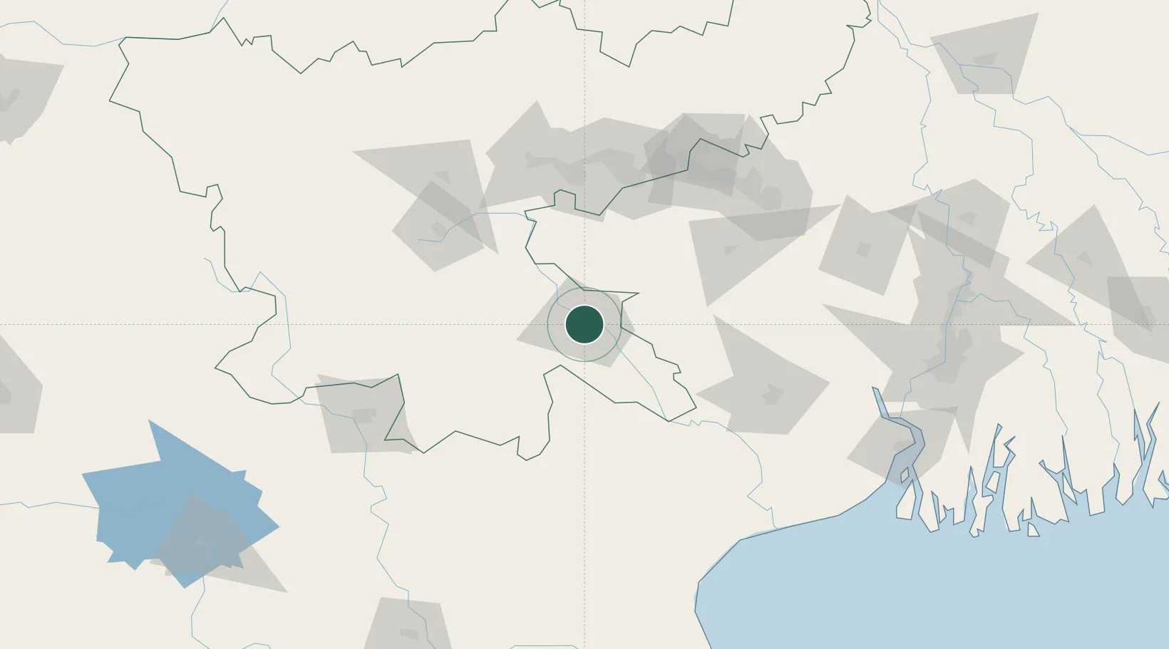
Nearby Logistics Neighbours

Cities
  1. 1Bankura103 km
  2. 2Namkum104 km
  3. 3Ranchi106 km
  4. 4Barbil113 km
  5. 5Kharagpur129 km
Nearest neighbours — logibook spatial index (haversine) over the source coordinates
Ports
  1. 1Haldia Port214 km
  2. 2Calcutta222 km
  3. 3Dhamra235 km
  4. 4Paradip286 km
  5. 5Mongla353 km
Nearest neighbours — logibook spatial index (haversine) over the source coordinates
Airports
  1. 1Sonari Airport2 km
  2. 2Birsa Munda Airport105 km
  3. 3Dhanbad Airport118 km
  4. 4Kazi Nazrul Islam Airport142 km
  5. 5Panagarh Air Force Station148 km
Nearest neighbours — logibook spatial index (haversine) over the source coordinates
Trade Zones
  1. 1Adityapur Industrial area development authority2 km
  2. 2Falta Special Economic Zone205 km
  3. 3M.L. Dalmiya & Co Ltd.225 km
  4. 4M.L. Dalmiya and Company Limited225 km
  5. 5Falta Special Economic Zone226 km
Nearest neighbours — logibook spatial index (haversine) over the source coordinates
DatabookThe Record of Consolidated Knowledge
India beyond logistics?
Browse databook

All Sources

LocationsUN/LOCODE
UN/LOCODE — free
LocationsGeoNames
CC BY 4.0
Portsthe NGA World Port Index
Public domain (US gov)
AirportsOurAirports
Public domain
Trade Zonesthe World Bank SEZ database
CC BY 4.0
Trade ZonesOpen Zone Map
CC BY
← India locations